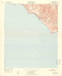
1951 Map of Pitas Point
USGS Topo · Published 1951About this map
Oil Wells and storage infrastructure dominate the coastal shelf of this 1951 survey, reflecting the intensive petroleum activity along the Ventura coastline. The Southern Pacific railroad and Highway 101 hug the narrow strip of land between the steep ascent of Rincon Mtn and the Santa Barbara Channel, creating a compressed corridor of transportation and industry. Small settlements like Sea Cliff and Punta are tucked into this transition zone, where the hills meet the tide.
Find a feature on this map
24 named features on this map. Tap any name to fly to it.
Don’t see what you’re looking for? This feature index may not catch every label — zoom into the map to look around manually.
Map Details
Editions of this 1951 Pitas Point Map
2 editions found
Other maps of this area

1904 · Ventura
USGS Topo · 1:62,500

1941 · Ventura
USGS Topo · 1:62,500
1944 · Carpinteria
USGS Topo · 1:31,680

1949 · Los Angeles
USGS Topo · 1:250,000
1950 · Pitas Point
USGS Topo · 1:24,000
1951 · Pitas Point
USGS Topo · 1:24,000
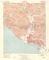
1951 · Ventura
USGS Topo · 1:24,000
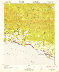
1952 · Carpinteria
USGS Topo · 1:24,000
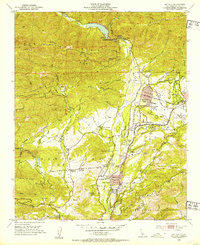
1952 · Matilija
USGS Topo · 1:24,000
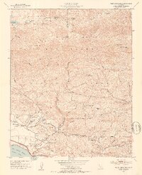
1952 · White Ledge Peak
USGS Topo · 1:24,000