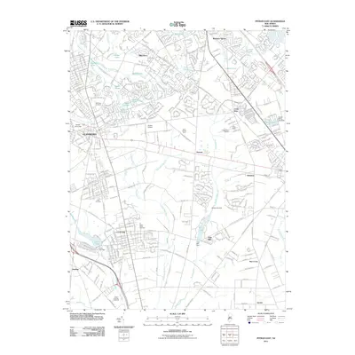
2011 Map of Pitman East
USGS Topo · Published 2011About this map
Glassboro and Clayton serve as the primary hubs in this part of Gloucester County, where suburban developments intersect with traditional agricultural lands. The landscape is defined by the headwaters of several prominent waterways, including Mantua Creek, Scotland Run, and Still Run. This 2011 survey documents a transition in land use, from large agricultural tracts like the Muth Family Farm and Robert Schober Orchards to established residential communities such as Whitman Square and Dilkesboro.
Find a feature on this map
345 named features on this map. Tap any name to fly to it.
Don’t see what you’re looking for? This feature index may not catch every label — zoom into the map to look around manually.
Map Details
Editions of this 2011 Pitman East Map
This is the sole edition of this map. No revisions or reprints were ever made.
Other maps of this area

1888 · Mount Holly
USGS Topo · 1:62,500

1890 · Hammonton
USGS Topo · 1:62,500

1890 · Glassboro
USGS Topo · 1:62,500

1891 · Philadelphia
USGS Topo · 1:62,500

1894 · Hammonton
USGS Topo · 1:62,500

1894 · Mount Holly
USGS Topo · 1:62,500

1894 · Philadelphia
USGS Topo · 1:62,500

1896 · Philadelphia
USGS Topo · 1:62,500

1898 · Glassboro
USGS Topo · 1:62,500

1898 · Philadelphia
USGS Topo · 1:62,500