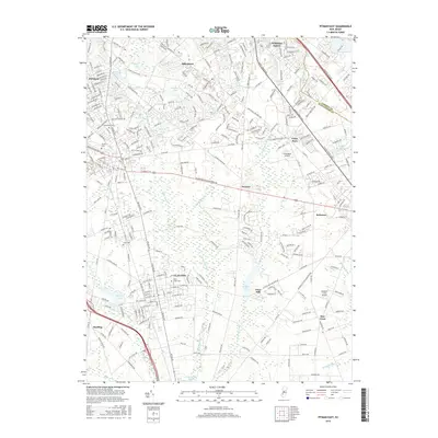
2016 Map of Pitman East
USGS Topo · Published 2016About this map
Pitman and Clayton anchor this Gloucester County landscape, reflecting the suburban expansion of Southern New Jersey during the early twenty-first century. The map details a transition from dense residential grids in the northwest to the more fragmented development patterns of Whitman Square and Cross Keys. Significant institutional footprints are visible at Rowan Univ, while the legacy of the region's early rural industries is preserved in place names like Fries Mill and the scattered cemeteries of Manahath Cem and Cedar Green Cem.
Find a feature on this map
291 named features on this map. Tap any name to fly to it.
Don’t see what you’re looking for? This feature index may not catch every label — zoom into the map to look around manually.
Map Details
Editions of this 2016 Pitman East Map
This is the sole edition of this map. No revisions or reprints were ever made.
Other maps of this area

1888 · Mount Holly
USGS Topo · 1:62,500

1890 · Hammonton
USGS Topo · 1:62,500

1890 · Glassboro
USGS Topo · 1:62,500

1891 · Philadelphia
USGS Topo · 1:62,500

1894 · Hammonton
USGS Topo · 1:62,500

1894 · Mount Holly
USGS Topo · 1:62,500

1894 · Philadelphia
USGS Topo · 1:62,500

1896 · Philadelphia
USGS Topo · 1:62,500

1898 · Glassboro
USGS Topo · 1:62,500

1898 · Philadelphia
USGS Topo · 1:62,500