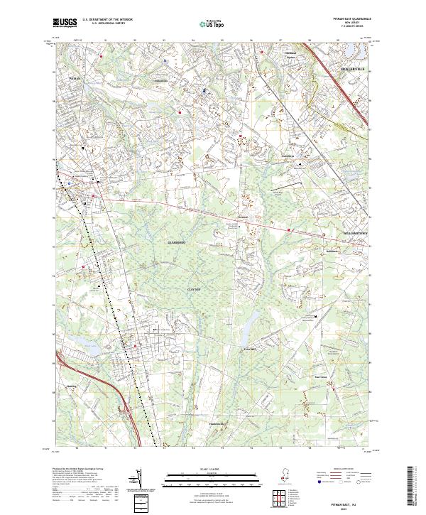
2023 Map of Pitman East
USGS Topo · Published 2023About this map
Glassboro and Clayton anchor this detailed study of the suburban and institutional landscape of Gloucester County. The presence of Rowan University marks a significant academic center in the northwest, while the map records numerous burial sites of genealogical interest, including the Gloucester County Veterans Memorial Cem and Saint Bridgets Cem. The geography is defined by a dense network of watercourses like Mantua Creek and Scotland Run, which feed into various ponds and lakes such as Kandle Lake and Silver Lake. Small settlements such as Downer, Fries Mill, and Cross Keys are interconnected by historically significant routes like the Glassboro Williamstown Rd. Two regional aviation sites, Cross Keys Airport and Southern Cross Airport, further illustrate the transportation infrastructure serving these growing communities.
Find a feature on this map
66 named features on this map. Tap any name to fly to it.
Don’t see what you’re looking for? This feature index may not catch every label — zoom into the map to look around manually.
Map Details
Editions of this 2023 Pitman East Map
This is the sole edition of this map. No revisions or reprints were ever made.
Other maps of this area

1888 · Mount Holly
USGS Topo · 1:62,500

1890 · Hammonton
USGS Topo · 1:62,500

1890 · Glassboro
USGS Topo · 1:62,500

1891 · Philadelphia
USGS Topo · 1:62,500

1894 · Hammonton
USGS Topo · 1:62,500

1894 · Mount Holly
USGS Topo · 1:62,500

1894 · Philadelphia
USGS Topo · 1:62,500

1896 · Philadelphia
USGS Topo · 1:62,500

1898 · Glassboro
USGS Topo · 1:62,500

1898 · Philadelphia
USGS Topo · 1:62,500