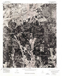
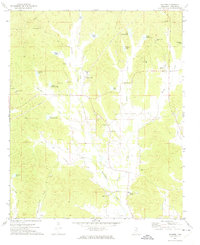
1976 Map of Pittsboro NE
USGS Topo · Published 1977About this map
Bruce occupies the northern portion of this 1976 orthophotoquad, serving as a primary settlement center in rural Calhoun County. The aerial perspective reveals a landscape defined by industrial and agricultural patterns, most notably the channelized path of the Skuna River Canal which cuts through the bottomlands. This engineered waterway represents a significant era of drainage projects designed to manage the watershed's flood-prone lowlands for timber and farming. The surrounding terrain is a mosaic of dense woodlands and cleared fields, showing the detailed layout of roads and timber tracts as they existed in the mid-1970s.
Find a feature on this map
2 named features on this map. Tap any name to fly to it.
Don’t see what you’re looking for? This feature index may not catch every label — zoom into the map to look around manually.
Map Details
Editions of this 1976 Pittsboro NE Map
This is the sole edition of this map. No revisions or reprints were ever made.
Other maps of this area

1953 · West Point
USGS Topo · 1:250,000
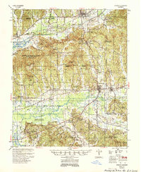
1954 · Pittsboro
USGS Topo · 1:62,500

1956 · Tupelo
USGS Topo · 1:250,000

1958 · Tupelo
USGS Topo · 1:250,000

1958 · West Point
USGS Topo · 1:250,000

1963 · West Point
USGS Topo · 1:250,000
1972 · Robbs
USGS Topo · 1:24,000
1972 · Atlanta
USGS Topo · 1:24,000
1972 · Banner
USGS Topo · 1:24,000
1972 · Vardaman
USGS Topo · 1:24,000