2024 Map of Pittsburg
USGS Topo · Published 2024About this map
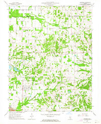
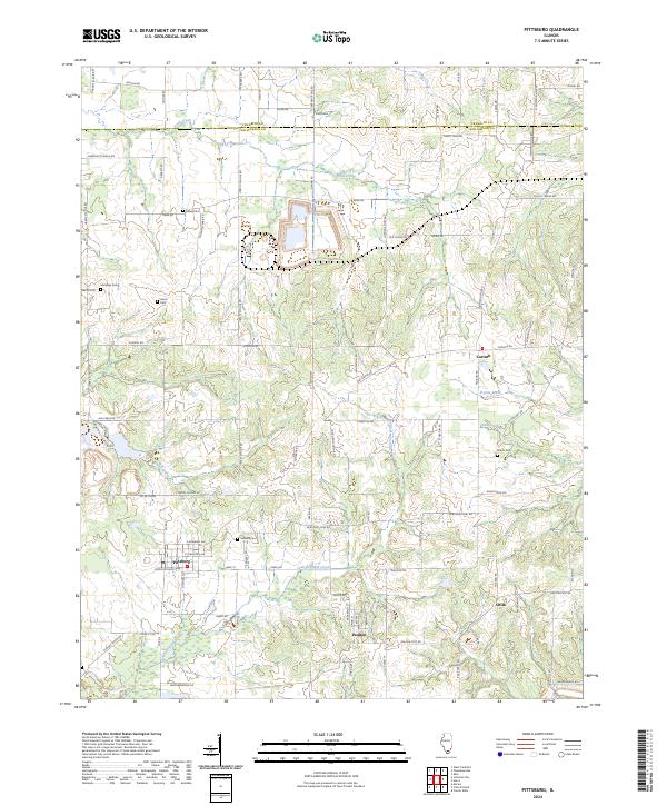
Pittsburg and the surrounding rural landscape of Williamson County are defined by a complex network of waterways and a long history of small-town settlement. This modern-era survey shows the township-and-range grid intersected by the meandering paths of Crab Orchard Creek and Pond Creek. The map is particularly valuable for genealogists, as it meticulously identifies local burial grounds including Stilley Cem, Murphey Cem, and Shiloh Cem, which serve as quiet markers of the area's early families. Smaller communities such as Corinth, Paulton, and Attila appear as localized hubs within a landscape dominated by agricultural land and conservation areas, including the northern Farm Service Agency and Interest of Illinois tracts. The drainage patterns of Brushy Creek and Prairie Creek highlight the low-lying character of the terrain that has influenced local road placement and land use for generations.
Find a feature on this map
91 named features on this map. Tap any name to fly to it.
Don’t see what you’re looking for? This feature index may not catch every label — zoom into the map to look around manually.
Map Details
Editions of this 2024 Pittsburg Map
This is the sole edition of this map. No revisions or reprints were ever made.