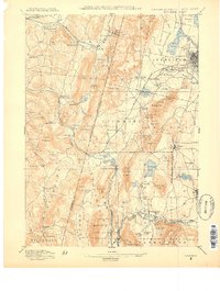
1888 Map of Pittsfield
USGS Topo · Published 1888About this map
Pittsfield and its industrial and communal surroundings are detailed in this survey of the Berkshire and Columbia County borderlands. The map highlights the significant presence of the Shaker community, with the Canaan Shakers and Shaker Village marking the landscape alongside the Lebanon Springs Railroad. The region's industrial heritage is evident at Richmond Furnace and the numerous mills that once lined the waterways, such as those near Shaker Mill Pond.
Find a feature on this map
117 named features on this map. Tap any name to fly to it.
Don’t see what you’re looking for? This feature index may not catch every label — zoom into the map to look around manually.
Map Details
Editions of this 1888 Pittsfield Map
This is the sole edition of this map. No revisions or reprints were ever made.
Other maps of this area
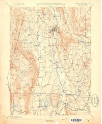
1885 · Sheffield
USGS Topo · 1:62,500

1886 · Greylock
USGS Topo · 1:62,500
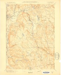
1886 · Becket
USGS Topo · 1:62,500
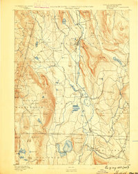
1888 · Sheffield
USGS Topo · 1:62,500
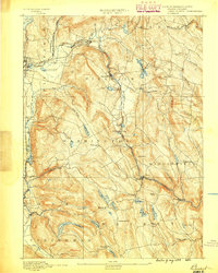
1888 · Becket
USGS Topo · 1:62,500
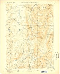
1888 · Berlin
USGS Topo · 1:62,500
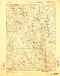
1888 · Sandisfield
USGS Topo · 1:62,500
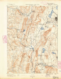
1890 · Pittsfield
USGS Topo · 1:62,500
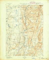
1890 · Berlin
USGS Topo · 1:62,500
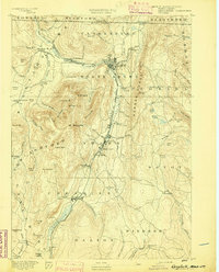
1891 · Greylock
USGS Topo · 1:62,500