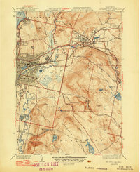
1947 Map of Pittsfield East
USGS Topo · Published 1947About this map
The Pittsfield urban center and the industrial corridor of the Housatonic River dominate this post-war Berkshire County landscape. In 1947, the convergence of the Boston and Albany RR and the New York New Haven and Hartford RR reflects a region deeply integrated into the New England rail economy. While the western portion of the map shows dense street grids and sites like the Sewage Disposal facility, the eastern terrain ascends toward the wilder slopes of Washington Mountain.
Find a feature on this map
85 named features on this map. Tap any name to fly to it.
Don’t see what you’re looking for? This feature index may not catch every label — zoom into the map to look around manually.
Map Details
Editions of this 1947 Pittsfield East Map
3 editions found
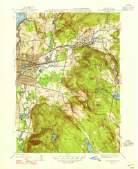
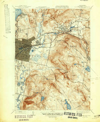
Other maps of this area

1886 · Greylock
USGS Topo · 1:62,500

1886 · Becket
USGS Topo · 1:62,500

1888 · Becket
USGS Topo · 1:62,500

1888 · Berlin
USGS Topo · 1:62,500

1888 · Pittsfield
USGS Topo · 1:62,500

1890 · Pittsfield
USGS Topo · 1:62,500

1890 · Berlin
USGS Topo · 1:62,500

1891 · Greylock
USGS Topo · 1:62,500

1893 · Becket
USGS Topo · 1:62,500

1893 · Greylock
USGS Topo · 1:62,500