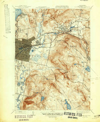
1947 Map of Pittsfield East
USGS Topo · Published 1947About this map
The industrial and residential growth of the Berkshires is centered on the Housatonic River as it winds through the city of Pittsfield and the town of Dalton. This mid-century survey reveals a landscape of heavy industry and natural resource management, where the Boston and Albany RR corridor facilitates commerce alongside complex water systems like Silver Lake and Center Pond. The eastern edge of the city gives way to the rising elevations of Washington Mountain, where a network of reservoirs—including Ashley Reservoir and Farnham Reservoir—illustrates the intensive water infrastructure required for the region's expanding population.
Find a feature on this map
50 named features on this map. Tap any name to fly to it.
Don’t see what you’re looking for? This feature index may not catch every label — zoom into the map to look around manually.
Map Details
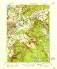
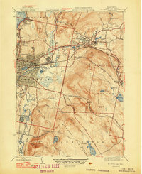
Editions of this 1947 Pittsfield East Map
3 editions found
Other maps of this area

1886 · Greylock
USGS Topo · 1:62,500

1886 · Becket
USGS Topo · 1:62,500

1888 · Becket
USGS Topo · 1:62,500

1888 · Berlin
USGS Topo · 1:62,500

1888 · Pittsfield
USGS Topo · 1:62,500

1890 · Pittsfield
USGS Topo · 1:62,500

1890 · Berlin
USGS Topo · 1:62,500

1891 · Greylock
USGS Topo · 1:62,500

1893 · Becket
USGS Topo · 1:62,500

1893 · Greylock
USGS Topo · 1:62,500