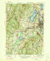
1947 Map of Pittsfield West
USGS Topo · Published 1947About this map
Onota Lake and Pontoosuc Lake dominate the northern landscape of the Berkshire foothills just after the Second World War. This mid-century survey reveals the industrial and transport infrastructure surrounding Pittsfield, including the heavy rail lines of the Boston and Albany and New York Central. The map documents established communities like West Pittsfield, Barkerville, and Shaker Village, while also highlighting civic landmarks such as Wahconah Park and the Pittsfield Cem.
Find a feature on this map
60 named features on this map. Tap any name to fly to it.
Don’t see what you’re looking for? This feature index may not catch every label — zoom into the map to look around manually.
Map Details
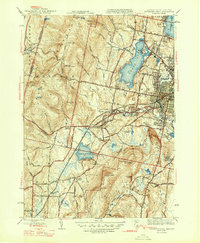
Editions of this 1947 Pittsfield West Map
2 editions found
Other maps of this area

1886 · Greylock
USGS Topo · 1:62,500

1886 · Becket
USGS Topo · 1:62,500

1888 · Becket
USGS Topo · 1:62,500

1888 · Berlin
USGS Topo · 1:62,500

1888 · Pittsfield
USGS Topo · 1:62,500

1890 · Pittsfield
USGS Topo · 1:62,500

1890 · Berlin
USGS Topo · 1:62,500

1891 · Greylock
USGS Topo · 1:62,500

1893 · Becket
USGS Topo · 1:62,500

1893 · Greylock
USGS Topo · 1:62,500