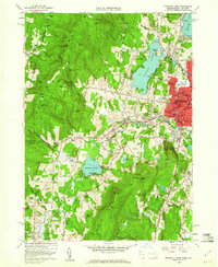
1959 Map of Pittsfield West
USGS Topo · Published 1960About this map
Shaker Village and the surrounding Berkshire highlands define this landscape on the cusp of the 1960s. The map captures the western edge of Pittsfield, showing the city's suburban expansion toward Onota Lake alongside the preserved heritage of the Shaker community near Shaker Cem and Shaker Mtn. The terrain is marked by significant elevations like Yokun Seat and Mahanna Cobble, while the valley floors are utilized for transport and recreation, including the New York Central rail line and the Bousquet Ski Area.
Find a feature on this map
93 named features on this map. Tap any name to fly to it.
Don’t see what you’re looking for? This feature index may not catch every label — zoom into the map to look around manually.
Map Details
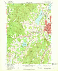
Editions of this 1959 Pittsfield West Map
2 editions found
Other maps of this area

1886 · Greylock
USGS Topo · 1:62,500

1886 · Becket
USGS Topo · 1:62,500

1888 · Becket
USGS Topo · 1:62,500

1888 · Berlin
USGS Topo · 1:62,500

1888 · Pittsfield
USGS Topo · 1:62,500

1890 · Pittsfield
USGS Topo · 1:62,500

1890 · Berlin
USGS Topo · 1:62,500

1891 · Greylock
USGS Topo · 1:62,500

1893 · Becket
USGS Topo · 1:62,500

1893 · Greylock
USGS Topo · 1:62,500