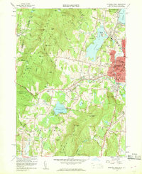
1959 Map of Pittsfield West
USGS Topo · Published 1960About this map
Pittsfield serves as the eastern anchor of this Berkshire County landscape, where urban density gives way to the ridges of the Taconic Range. The 1959 revision of this area captures the city during a period of mid-century infrastructure growth, evidenced by the Pittsfield Airport and the Branch Substation near the New York Central rail line. To the west, the map documents the religious and communal heritage of the region at Shaker Village and the City Farm, while the recreation-heavy shoreline of Onota Lake and Richmond Pond shows a clear transition from industrial center to seasonal retreat.
Find a feature on this map
119 named features on this map. Tap any name to fly to it.
Don’t see what you’re looking for? This feature index may not catch every label — zoom into the map to look around manually.
Map Details
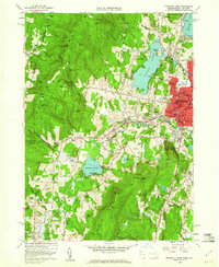
Editions of this 1959 Pittsfield West Map
2 editions found
Other maps of this area

1886 · Greylock
USGS Topo · 1:62,500

1886 · Becket
USGS Topo · 1:62,500

1888 · Becket
USGS Topo · 1:62,500

1888 · Berlin
USGS Topo · 1:62,500

1888 · Pittsfield
USGS Topo · 1:62,500

1890 · Pittsfield
USGS Topo · 1:62,500

1890 · Berlin
USGS Topo · 1:62,500

1891 · Greylock
USGS Topo · 1:62,500

1893 · Becket
USGS Topo · 1:62,500

1893 · Greylock
USGS Topo · 1:62,500