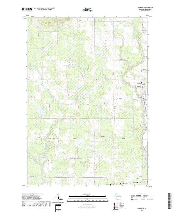
2022 Map of Pittsville
USGS Topo · Published 2022About this map
The Yellow River cuts through the eastern portion of this Wood County landscape, passing the established town of Pittsville and the smaller settlement of Veedum. This modern survey illustrates a topography defined by significant water systems, with the East Fork Black River appearing in the southwest corner and Little Bull Falls situated along the river's bend north of the town center. The presence of Mound Cem and Saint Joachims Cem near the town core offers valuable data for genealogists tracing local families in this part of Wisconsin. North of the main settlements, the prominent elevation of Cary Mound stands out against a network of rural routes like Polish Rd and Dairy Rd, which divide the land into its traditional agricultural and township sections. The transition from the riverbanks to the high ground of the mound suggests the varied terrain that has shaped the growth of these central Wisconsin communities.
Find a feature on this map
55 named features on this map. Tap any name to fly to it.
Don’t see what you’re looking for? This feature index may not catch every label — zoom into the map to look around manually.
Map Details
Editions of this 2022 Pittsville Map
This is the sole edition of this map. No revisions or reprints were ever made.
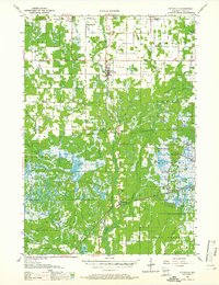
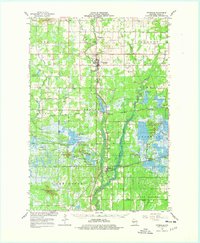
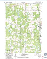
Historical Maps of Wood Through Time
4 maps found