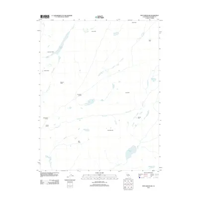
2012 Map of Piute Mountain
USGS Topo · Published 2012About this map
Piute Mountain stands at the center of this high-elevation landscape in Tuolumne County, where a complex network of glacial valleys and granite peaks defines the topography. The northern portion of the quadrangle is anchored by Tilden Lake, which feeds into Tilden Canyon Cr, while the southern reaches are marked by the waters of Benson Lake and Murdock Lake. This wilderness terrain is shaped by deep geological cuts such as Stubblefield Canyon and Thompson Canyon, providing a clear record of the watershed's natural drainage patterns. Navigational points for backcountry travel are clearly delineated, including the high Seavey Pass and the broad opening of Bear Valley. The map details a series of prominent summits ranging from Snow Peak and Wells Peak in the north to Acker Peak and Price Peak along the eastern and central ridges, illustrating the continuous chain of the Sierra Nevada range.
Find a feature on this map
23 named features on this map. Tap any name to fly to it.
Don’t see what you’re looking for? This feature index may not catch every label — zoom into the map to look around manually.
Map Details
Editions of this 2012 Piute Mountain Map
This is the sole edition of this map. No revisions or reprints were ever made.
Other maps of this area

1896 · Dardanelles
USGS Topo · 1:125,000

1897 · Yosemite
USGS Topo · 1:125,000

1898 · Dardanelles
USGS Topo · 1:125,000

1900 · Yosemite
USGS Topo · 1:125,000

1901 · Mt. Lyell
USGS Topo · 1:125,000

1903 · Yosemite
USGS Topo · 1:125,000

1909 · Yosemite
USGS Topo · 1:125,000

1909 · Bridgeport
USGS Topo · 1:125,000

1911 · Bridgeport
USGS Topo · 1:125,000

1920 · Bridgeport
USGS Topo · 1:125,000