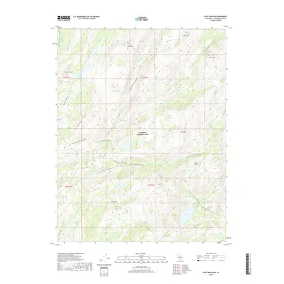
2018 Map of Piute Mountain
USGS Topo · Published 2018About this map
Yosemite National Park dominates this high Sierra landscape, where the Pacific Crest National Scenic Trail winds through deep glacial carvings and over high passes. The terrain is defined by dramatic elevation changes between granite summits like Piute Mtn and Snow Peak, and the long, water-carved corridors of Kerrick Canyon and Stubblefield Canyon. Hydrological patterns are central to this area, with Benson Lake and Murdock Lake serving as significant alpine water bodies fed by a network of creeks including Rancheria Cr and Piute Cr. The absence of roads highlight its status as a preserved wilderness area, where movement is dictated by natural geography such as Seavey Pass and the high ridges of Bailey Ridge and Macomb Ridge.
Find a feature on this map
28 named features on this map. Tap any name to fly to it.
Don’t see what you’re looking for? This feature index may not catch every label — zoom into the map to look around manually.
Map Details
Editions of this 2018 Piute Mountain Map
This is the sole edition of this map. No revisions or reprints were ever made.
Other maps of this area

1896 · Dardanelles
USGS Topo · 1:125,000

1897 · Yosemite
USGS Topo · 1:125,000

1898 · Dardanelles
USGS Topo · 1:125,000

1900 · Yosemite
USGS Topo · 1:125,000

1901 · Mt. Lyell
USGS Topo · 1:125,000

1903 · Yosemite
USGS Topo · 1:125,000

1909 · Yosemite
USGS Topo · 1:125,000

1909 · Bridgeport
USGS Topo · 1:125,000

1911 · Bridgeport
USGS Topo · 1:125,000

1920 · Bridgeport
USGS Topo · 1:125,000