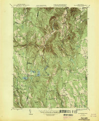
1947 Map of Plainfield
USGS Topo · Published 1947About this map
The hill towns of Western Massachusetts are defined by steep elevations and upland brooks in this 1944 survey, later published in 1947. The terrain transitions between several town boundaries, including Savoy, Hawley, Windsor, and Plainfield. Settlement is concentrated at local crossroads like Kings Corner and South Hawley, while the village of Plainfield sits near the summit of Warner Hill. The landscape is dotted with several small reservoirs and natural water bodies, notably Hallockville Pond, Plainfield Pond, and Windsor Pond. Local history and genealogy are anchored by several upland cemeteries, including Hilltop Cem and Bush Cem, and a network of district schoolhouses like School No 7 and the Brier Sch. The road network, featuring routes such as West Hawley Road and Stetson Road, reflects the area's agricultural and rural character before modern post-war development.
Find a feature on this map
62 named features on this map. Tap any name to fly to it.
Don’t see what you’re looking for? This feature index may not catch every label — zoom into the map to look around manually.
Map Details
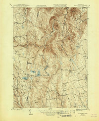
Editions of this 1947 Plainfield Map
2 editions found
Other maps of this area

1886 · Greylock
USGS Topo · 1:62,500

1886 · Hawley
USGS Topo · 1:62,500

1886 · Chesterfield
USGS Topo · 1:62,500

1886 · Becket
USGS Topo · 1:62,500

1888 · Becket
USGS Topo · 1:62,500

1888 · Chesterfield
USGS Topo · 1:62,500

1890 · Hawley
USGS Topo · 1:62,500

1891 · Greylock
USGS Topo · 1:62,500

1893 · Chesterfield
USGS Topo · 1:62,500

1893 · Becket
USGS Topo · 1:62,500