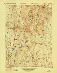
1948 Map of Plainfield
USGS Topo · Published 1948About this map
The town of Plainfield and the village of West Hawley anchor this high-elevation landscape in the late 1940s, where Berkshire, Franklin, and Hampshire counties meet. The terrain is marked by a network of upland brooks including Black Brook, Chickley River, and Swift River that drain the slopes of Hawks Mountain and Forge Hill. This period shows a rural community still reliant on local infrastructure, evidenced by the numerous district schoolhouses like Brier Sch, North Sch, and Bozrah Sch.
Find a feature on this map
77 named features on this map. Tap any name to fly to it.
Don’t see what you’re looking for? This feature index may not catch every label — zoom into the map to look around manually.
Map Details
Editions of this 1948 Plainfield Map
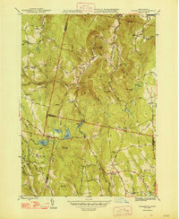
2 editions found
Other maps of this area

1886 · Greylock
USGS Topo · 1:62,500

1886 · Hawley
USGS Topo · 1:62,500

1886 · Chesterfield
USGS Topo · 1:62,500

1886 · Becket
USGS Topo · 1:62,500

1888 · Becket
USGS Topo · 1:62,500

1888 · Chesterfield
USGS Topo · 1:62,500

1890 · Hawley
USGS Topo · 1:62,500

1891 · Greylock
USGS Topo · 1:62,500

1893 · Chesterfield
USGS Topo · 1:62,500

1893 · Becket
USGS Topo · 1:62,500