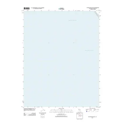
2012 Map of Plantation OE W
USGS Topo · Published 2012About this map
The vast expanse of the Pacific Ocean dominates this coastal survey, which covers the offshore waters of Sonoma County. Produced in the early twenty-first century, this map focuses almost entirely on the maritime environment and the sea-level topography of the California coast. While the landmass is largely absent from this specific quadrangle, the survey captures a narrow sliver of the shoreline in the far northeast corner, reflecting the rugged boundary where the land meets the deep waters of the Pacific Ocean. This map is a specialized document for those studying the coastal shelf and oceanic boundaries of the northern California coastline in the modern era.
Find a feature on this map
1 named feature on this map. Tap any name to fly to it.
Don’t see what you’re looking for? This feature index may not catch every label — zoom into the map to look around manually.
Map Details
Editions of this 2012 Plantation OE W Map
This is the sole edition of this map. No revisions or reprints were ever made.
Other maps of this area

1921 · Plantation
USGS Topo · 1:62,500

1943 · Stewarts Point
USGS Topo · 1:24,000

1943 · Plantation
USGS Topo · 1:24,000

1943 · Annapolis
USGS Topo · 1:24,000

1944 · Annapolis
USGS Topo · 1:31,680
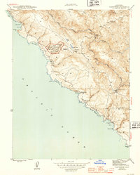
1944 · Plantation
USGS Topo · 1:31,680

1944 · Stewarts Point
USGS Topo · 1:31,680

1947 · Santa Rosa
USGS Topo · 1:250,000

1949 · Santa Rosa
USGS Topo · 1:250,000

1958 · Santa Rosa
USGS Topo · 1:250,000