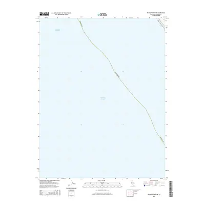
2015 Map of Plantation OE W
USGS Topo · Published 2015About this map
The Pacific Ocean dominates this maritime survey off the coast of Sonoma Co, California. This map represents a predominantly aquatic region where the official state boundary line trends northwest to southeast through open water. Because the sheet covers a section of the Pacific shelf rather than the immediate shoreline, it provides a precise look at the administrative and maritime borders used by the U.S. Geological Survey in the early 21st century. The sparse labeling reflects the offshore nature of the quadrangle, focusing on the boundary between state and federal waters during a period of modern geospatial standardization.
Find a feature on this map
3 named features on this map. Tap any name to fly to it.
Don’t see what you’re looking for? This feature index may not catch every label — zoom into the map to look around manually.
Map Details
Editions of this 2015 Plantation OE W Map
This is the sole edition of this map. No revisions or reprints were ever made.
Other maps of this area

1921 · Plantation
USGS Topo · 1:62,500

1943 · Stewarts Point
USGS Topo · 1:24,000

1943 · Plantation
USGS Topo · 1:24,000

1943 · Annapolis
USGS Topo · 1:24,000

1944 · Annapolis
USGS Topo · 1:31,680
1944 · Plantation
USGS Topo · 1:31,680

1944 · Stewarts Point
USGS Topo · 1:31,680

1947 · Santa Rosa
USGS Topo · 1:250,000

1949 · Santa Rosa
USGS Topo · 1:250,000

1958 · Santa Rosa
USGS Topo · 1:250,000