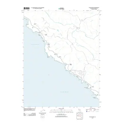
2012 Map of Plantation
USGS Topo · Published 2012About this map
Kruse Ranch and Walsh Landing anchor this coastal stretch of Sonoma County, where the terrestrial landscape meets the Pacific shoreline at dramatic points like Horseshoe Point and Salt Point. The inland terrain is defined by the winding course of the S Fork Gualala River, which is crossed by the Hauser Bridge and fed by numerous drainages including Stockhoff Cr and Marshall Cr. Local genealogy and settlement history are preserved in several family-named landmarks and burial grounds, such as Cooper Cem, Ruoff-Thomas Cem, and Benitz Cem located near Timber Cove. The road network, including Seaview Rd and Kruse Ranch Rd, traces the ridges above the coves, while campgrounds like Moonrock Campground and Stillwater Campground reflect the area's use as a coastal retreat.
Find a feature on this map
56 named features on this map. Tap any name to fly to it.
Don’t see what you’re looking for? This feature index may not catch every label — zoom into the map to look around manually.
Map Details
Editions of this 2012 Plantation Map
This is the sole edition of this map. No revisions or reprints were ever made.
Other maps of this area

1921 · Skaggs
USGS Topo · 1:62,500

1921 · Plantation
USGS Topo · 1:62,500

1942 · Arched Rock
USGS Topo · 1:24,000

1943 · Tombs Creek
USGS Topo · 1:24,000

1943 · Stewarts Point
USGS Topo · 1:24,000

1943 · Plantation
USGS Topo · 1:24,000

1943 · Annapolis
USGS Topo · 1:24,000

1943 · Fort Ross
USGS Topo · 1:24,000
1944 · Fort Ross
USGS Topo · 1:31,680

1944 · Annapolis
USGS Topo · 1:31,680