
1943 Map of Plantation
USGS Topo · Published 1956About this map
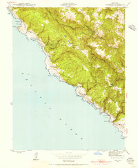
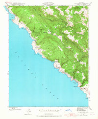
Plantation and its surrounding coastal ridges define this 1940s landscape along the Sonoma shore, where isolated settlements and small schools served a community tied to the land and sea. The survey identifies several local centers of education, including Gualala Sch, Plantation Sch, and Stillwater Cove Sch, illustrating a decentralized settlement pattern common before post-war consolidation.
Find a feature on this map
30 named features on this map. Tap any name to fly to it.
Don’t see what you’re looking for? This feature index may not catch every label — zoom into the map to look around manually.
Map Details
Editions of this 1943 Plantation Map
3 editions found
Other maps of this area

1921 · Skaggs
USGS Topo · 1:62,500

1921 · Plantation
USGS Topo · 1:62,500

1942 · Arched Rock
USGS Topo · 1:24,000

1943 · Tombs Creek
USGS Topo · 1:24,000

1943 · Stewarts Point
USGS Topo · 1:24,000

1943 · Annapolis
USGS Topo · 1:24,000

1943 · Fort Ross
USGS Topo · 1:24,000
1944 · Fort Ross
USGS Topo · 1:31,680

1944 · Annapolis
USGS Topo · 1:31,680
1944 · Plantation
USGS Topo · 1:31,680