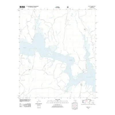
2010 Map of Platt
USGS Topo · Published 2010About this map
The Angelina River corridor dominates this landscape, significantly reshaped by the expansive waters of the Sam Rayburn Reservoir. The interaction between the river's original channel and the reservoir's shoreline creates a complex system of inlets and drowned creek beds, such as Dorty Creek and Moccasin Creek. In the upland areas, small settlements like Platt and Poe represent the persistent rural communities of Nacogdoches County.
Find a feature on this map
37 named features on this map. Tap any name to fly to it.
Don’t see what you’re looking for? This feature index may not catch every label — zoom into the map to look around manually.
Map Details
Editions of this 2010 Platt Map
This is the sole edition of this map. No revisions or reprints were ever made.
Other maps of this area

1949 · Lufkin
USGS Topo · 1:62,500

1949 · Platt
USGS Topo · 1:24,000

1949 · Lufkin
USGS Topo · 1:24,000

1949 · Huntington
USGS Topo · 1:24,000

1950 · Platt
USGS Topo · 1:24,000

1950 · Lufkin
USGS Topo · 1:24,000

1950 · Redland
USGS Topo · 1:24,000

1950 · Huntington
USGS Topo · 1:24,000

1952 · Nacogdoches
USGS Topo · 1:62,500

1953 · Palestine
USGS Topo · 1:250,000