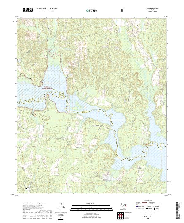
2022 Map of Platt
USGS Topo · Published 2022About this map
Angelina National Forest dominates this East Texas landscape at the border of Nacogdoches and Angelina counties. The terrain is defined by the complex hydrology of the Angelina River as it feeds into the north end of the Sam Rayburn Reservoir. Extensive wetlands and backwaters, such as Boggy Slough and Board Tree Slough, illustrate the bottomland environment typical of this region. Local history is anchored by several rural burial sites, including Saints Rest Cem, Jacobs Chapel Cem, and W M Berry Cem, providing critical landmarks for genealogical research. The network of county roads, such as Co RD 545 and Co RD 147, weave through a terrain cut by numerous small drainages like Dipping Vat Br and Schoolhouse Br, reflecting a long history of timber management and rural settlement within the forest boundaries.
Find a feature on this map
60 named features on this map. Tap any name to fly to it.
Don’t see what you’re looking for? This feature index may not catch every label — zoom into the map to look around manually.
Map Details
Editions of this 2022 Platt Map
This is the sole edition of this map. No revisions or reprints were ever made.
Other maps of this area

1949 · Lufkin
USGS Topo · 1:62,500

1949 · Platt
USGS Topo · 1:24,000

1949 · Lufkin
USGS Topo · 1:24,000

1949 · Huntington
USGS Topo · 1:24,000

1950 · Platt
USGS Topo · 1:24,000

1950 · Lufkin
USGS Topo · 1:24,000

1950 · Redland
USGS Topo · 1:24,000

1950 · Huntington
USGS Topo · 1:24,000

1952 · Nacogdoches
USGS Topo · 1:62,500

1953 · Palestine
USGS Topo · 1:250,000