Loading...
Loading map...2022 Map of Platteville
USGS Topo · Published 2022About this map
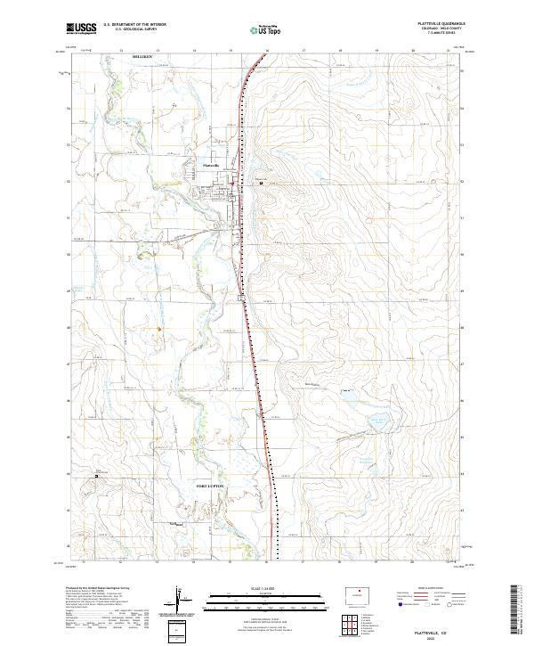
The South Platte River carves a wide corridor through this Weld County landscape, anchoring a complex network of agricultural irrigation that defines the region's character. In Platteville, a tight grid of residential streets like Elizabeth Ave and Goodrich Ave sits just west of the river, while the outskirts are marked by local landmarks such as Mizpah Cem and the Reck Airstrip.
Find a feature on this map
54 named features on this map. Tap any name to fly to it.
Don’t see what you’re looking for? This feature index may not catch every label — zoom into the map to look around manually.
Map Details
Date Portrayed2022
Date Published2022
PublisherU.S. Geological Survey
Map TypeTopographic
Scale1:24000
Physical Dimensions24 x 29 inches
Editions of this 2022 Platteville Map
This is the sole edition of this map. No revisions or reprints were ever made.
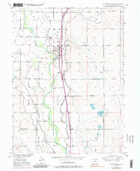
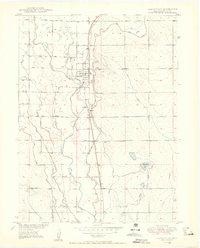
Historical Maps of Platteville Through Time
3 maps found
Featured Locations
Source Details
SourceU.S. Geological Survey
CopyrightPublic Domain