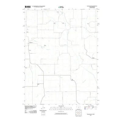
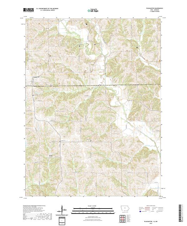
1964 Map of Pleasanton
USGS Topo · Published 1965About this map
The town of Pleasanton straddles the state line in the mid-1960s, serving as a focal point for this borderland where Decatur County, Iowa, and Mercer County, Missouri meet. This survey reveals a landscape of dispersed agricultural settlements and quiet country landmarks, including the Freedom Ch and Bethel Ch. Waterways like the Little River and Little Kilgore Creek wind through the township divisions of Hamilton, Morgan, and Lindley. The presence of several family-named burial grounds, such as Hamilton Cem and Bowles Cem, alongside small communities like Marks and Saline, provides significant detail for researchers tracing local genealogy. To the west, Nine Eagles State Park preserves a portion of the timbered terrain, contrasting with the active Quarry nearby.
Find a feature on this map
24 named features on this map. Tap any name to fly to it.
Don’t see what you’re looking for? This feature index may not catch every label — zoom into the map to look around manually.
Map Details
Editions of this 1964 Pleasanton Map
This is the sole edition of this map. No revisions or reprints were ever made.
Historical Maps of Pleasanton Through Time
6 maps found