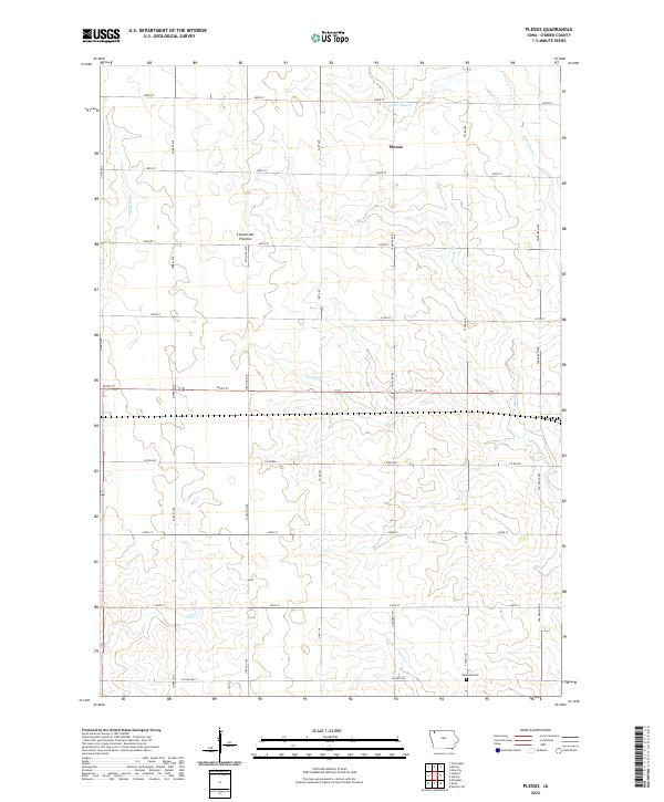
2022 Map of Plessis
USGS Topo · Published 2022About this map
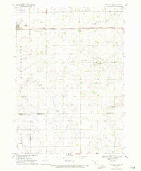
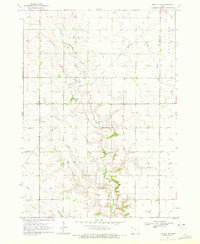
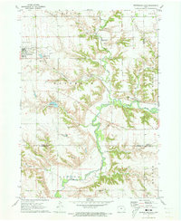
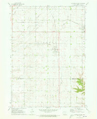
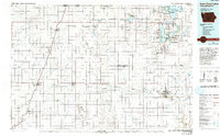
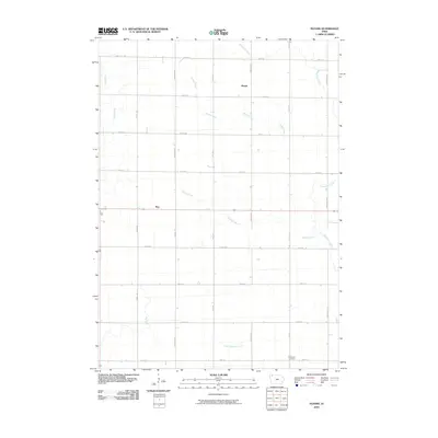
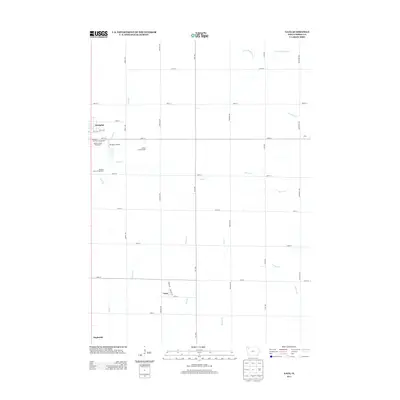
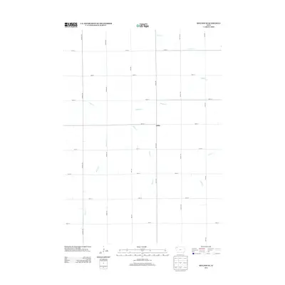
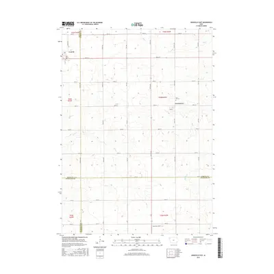
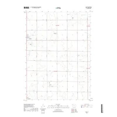
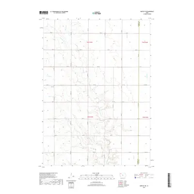
Plessis sits within the eastern reaches of the Coteau des Prairies, a vast plateau that shapes the drainage of O'Brien County. This survey reveals a meticulously organized agricultural grid where section lines are defined by roads like Silver Ave and 290th St. Water distribution is central to the landscape's character, with the Floyd River flowing through the west while the eastern half is deeply dissected by the headwaters of Waterman Cr and Plessis Cr. The rural layout is anchored by the Randolph Cem in the southeast, serving as a localized historical marker for the surrounding farming community. The map illustrates how late-modern infrastructure follows the precise township and range boundaries of t97n r40w and t96n r40w, maintaining the land division patterns established over a century prior.
Find a feature on this map
30 named features on this map. Tap any name to fly to it.
Don’t see what you’re looking for? This feature index may not catch every label — zoom into the map to look around manually.
Map Details
Editions of this 2022 Plessis Map
This is the sole edition of this map. No revisions or reprints were ever made.
Historical Maps of Max Through Time
43 maps found
1964 Gaza
O'Brien County, IA
1964 Plessis
O'Brien County, IA
1964 Sheldon SE
O'Brien County, IA
1969 Granville East
O'Brien County, IA
1970 Hartley SW
O'Brien County, IA
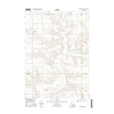
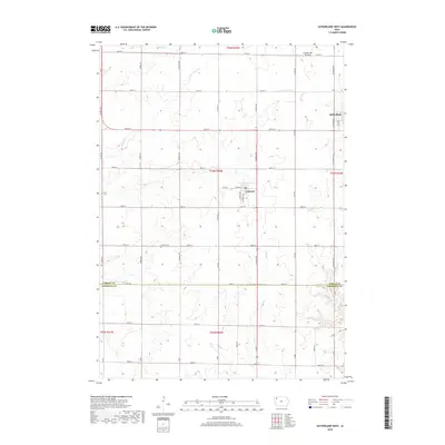
1971 Sutherland East
O'Brien County, IA
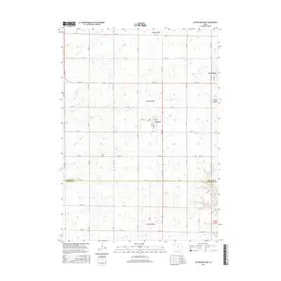
1971 Sutherland West
O'Brien County, IA
1985 Iowa Great Lakes
O'Brien County, IA
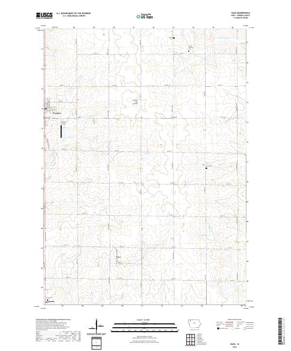
2010 Gaza
O'Brien County, IA
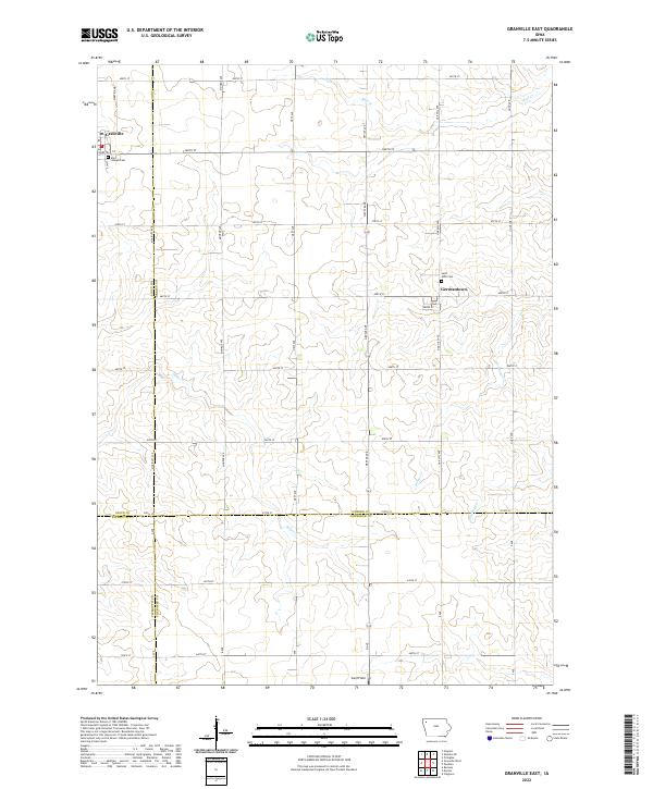
2010 Granville East
O'Brien County, IA
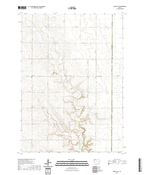
2010 Hartley SW
O'Brien County, IA
2010 Plessis
O'Brien County, IA
2010 Sheldon SE
O'Brien County, IA
2010 Sutherland East
O'Brien County, IA
2010 Sutherland West
O'Brien County, IA
2013 Gaza
O'Brien County, IA
2013 Granville East
O'Brien County, IA
2013 Hartley SW
O'Brien County, IA
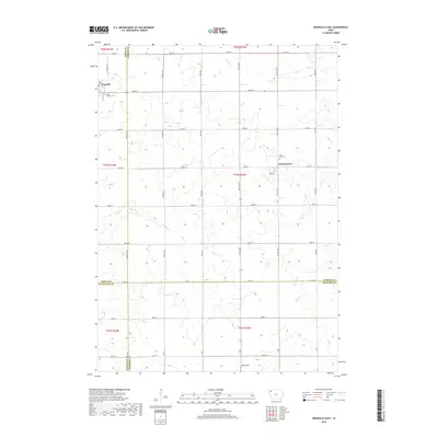
2013 Plessis
O'Brien County, IA
2013 Sheldon SE
O'Brien County, IA
2013 Sutherland East
O'Brien County, IA
2013 Sutherland West
O'Brien County, IA
2015 Gaza
O'Brien County, IA
2015 Granville East
O'Brien County, IA
2015 Hartley SW
O'Brien County, IA
2015 Plessis
O'Brien County, IA
2015 Sheldon SE
O'Brien County, IA
2015 Sutherland East
O'Brien County, IA
2015 Sutherland West
O'Brien County, IA
2018 Gaza
O'Brien County, IA
2018 Granville East
O'Brien County, IA
2018 Hartley SW
O'Brien County, IA
2018 Plessis
O'Brien County, IA
2018 Sheldon SE
O'Brien County, IA
2018 Sutherland East
O'Brien County, IA
2018 Sutherland West
O'Brien County, IA
2022 Gaza
O'Brien County, IA
2022 Granville East
O'Brien County, IA
2022 Hartley SW
O'Brien County, IA
2022 Plessis
O'Brien County, IA
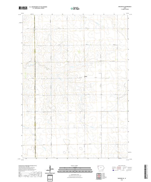
2022 Sheldon SE
O'Brien County, IA
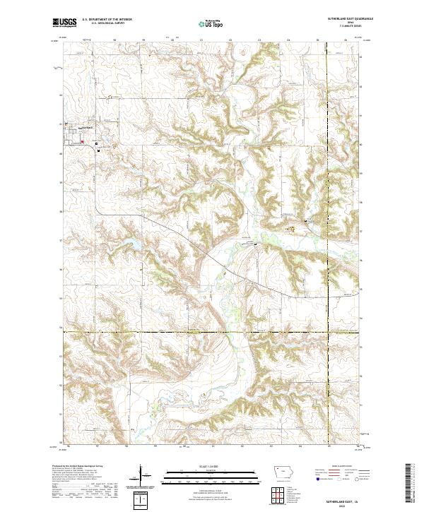
2022 Sutherland East
O'Brien County, IA
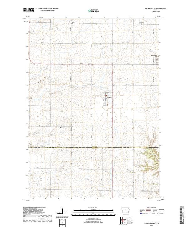
2022 Sutherland West
O'Brien County, IA