2024 Map of Plevna
USGS Topo · Published 2024About this map
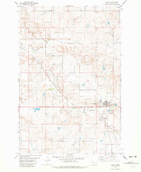
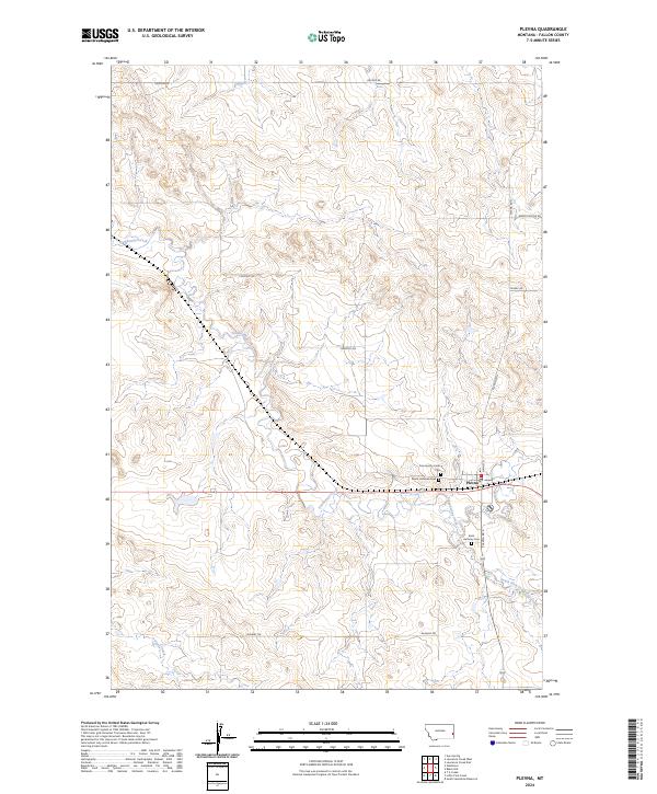
Plevna serves as the central hub of this eastern Montana landscape, where the local road network and drainage systems converge. The town is flanked by a significant concentration of communal sites, including the Community Union Cem, Peace Lutheran Cem, and Saint Anthony Cem, reflecting the deep-rooted settlement history of Fallon County. The terrain is defined by the winding course of Sandstone Creek and its tributary, the South Fork Sandstone Creek, which carve through the undulating prairie.
Find a feature on this map
22 named features on this map. Tap any name to fly to it.
Don’t see what you’re looking for? This feature index may not catch every label — zoom into the map to look around manually.
Map Details
Editions of this 2024 Plevna Map
This is the sole edition of this map. No revisions or reprints were ever made.