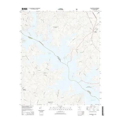
2014 Map of Plum Branch
USGS Topo · Published 2014About this map
The J. Strom Thurmond Reservoir dominates this portion of the Savannah River basin, its complex shoreline reaching into the deep drainages of Hawe Cr and Benningsfield Cr. Located along the border of South Carolina and Georgia, the landscape is a patchwork of the Sumter National Forest and rural settlements. The town of Plum Branch sits in the northeast, while smaller localities like Maxim and Martins Crossroads are connected by a network of named country roads. Genealogists will find several burial grounds documented, including Republican Cem, Pine Grove Cem, and Plum Branch Cem. The map illustrates the contemporary boundary between McCormick and Lincoln Counties, showing how the reservoir has reshaped the local geography since the mid-20th century.
Find a feature on this map
60 named features on this map. Tap any name to fly to it.
Don’t see what you’re looking for? This feature index may not catch every label — zoom into the map to look around manually.
Map Details
Editions of this 2014 Plum Branch Map
This is the sole edition of this map. No revisions or reprints were ever made.
Other maps of this area

1892 · Mc Cormick
USGS Topo · 1:125,000

1912 · Mc Cormick
USGS Topo · 1:125,000

1920 · Clarks Hill
USGS Topo · 1:48,000

1921 · Clarks Hill
USGS Topo · 1:62,500

1921 · Appling
USGS Topo · 1:62,500

1941 · Clarks Hill
USGS Topo · 1:62,500

1942 · Clarks Hill
USGS Topo · 1:62,500

1943 · Appling
USGS Topo · 1:62,500

1953 · Athens
USGS Topo · 1:250,000

1958 · Athens
USGS Topo · 1:250,000