Loading...
Loading map...2024 Map of Plummer
USGS Topo · Published 2024About this map
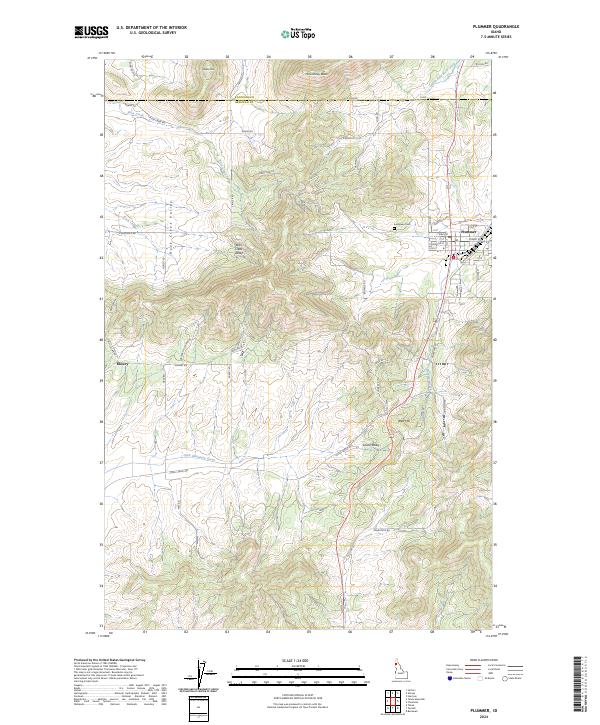
Plummer serves as the primary hub of activity on this Idaho panhandle landscape, situated just south of the Kootenai Co Benewah Co line. The settlement features a dense grid of streets including Milwaukee Ave, Elm St, and Dogwood St, alongside a dedicated Po and the nearby Evergreen Cem. To the west, the topography transitions into the prominent Rock Creek Valley, where the smaller settlement of Mowry sits at the junction of Mowry Rd and McClellan Rd.
Find a feature on this map
65 named features on this map. Tap any name to fly to it.
Don’t see what you’re looking for? This feature index may not catch every label — zoom into the map to look around manually.
Map Details
Date Portrayed2024
Date Published2024
PublisherU.S. Geological Survey
Map TypeTopographic
Scale1:24000
Physical Dimensions24 x 29 inches
Editions of this 2024 Plummer Map
This is the sole edition of this map. No revisions or reprints were ever made.
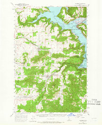
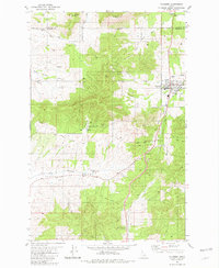
Historical Maps of Plummer Through Time
3 maps found
Featured Locations
Source Details
SourceU.S. Geological Survey
CopyrightPublic Domain