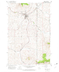
1981 Map of Plummer
USGS Topo · Published 1982About this map
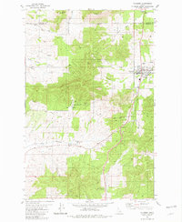
Plummer serves as the central hub of this northern Idaho landscape, entirely contained within the Coeur d'Alene Indian Reservation. The map documents a transition in infrastructure, most notably the Old Railroad Grade that winds through the terrain, passing through the Sorrento Tunnel. Community life is centered around the High School and the Drive-in Theater, while tribal administration is anchored at the Coeur d'Alene Indian Tribal Headquarters. The topography is defined by significant elevations such as Minkler Mtn, McCartney Butte, and Watt Hill, overlooking the drainage of Rock Creek and Hangman Creek. Small-scale land use is evident in several Borrow Pits and the Whaa-Laa Campground, reflecting a mix of local industry and recreation during the early 1980s.
Find a feature on this map
24 named features on this map. Tap any name to fly to it.
Don’t see what you’re looking for? This feature index may not catch every label — zoom into the map to look around manually.
Map Details
Editions of this 1981 Plummer Map
This is the sole edition of this map. No revisions or reprints were ever made.
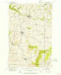
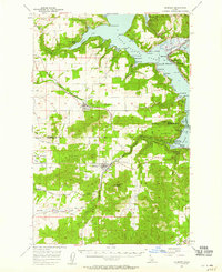
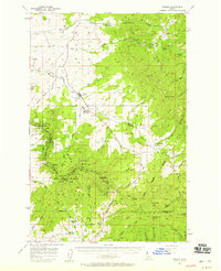
Other maps of this area

1903 · Oakesdale
USGS Topo · 1:125,000

1905 · Oakesdale
USGS Topo · 1:125,000
1954 · Fairfield
USGS Topo · 1:62,500

1955 · Spokane
USGS Topo · 1:250,000
1957 · Plummer
USGS Topo · 1:62,500
1957 · Tensed
USGS Topo · 1:62,500

1958 · Spokane
USGS Topo · 1:250,000
1964 · Tekoa
USGS Topo · 1:24,000
1975 · Plummer NW
USGS Topo · 1:24,000
1975 · Plummer SE
USGS Topo · 1:24,000