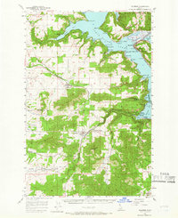
1957 Map of Plummer
USGS Topo · Published 1966About this map
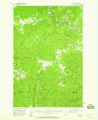
Coeur d'Alene Lake dominates the northern half of this 1950s landscape, its jagged shoreline defined by numerous inlets like Windy Bay and Rockford Bay. The map captures a period of active rail transit and local industry, where the Chicago Milwaukee St Paul and Pacific railroad threads through the terrain, passing through the Sorrento Tunnel and connecting the town of Plummer with Plummer Junction. The presence of Grain Elevators in Worley and a Drive-in Theater near the town center reflects the mid-century agricultural and social character of the region.
Find a feature on this map
60 named features on this map. Tap any name to fly to it.
Don’t see what you’re looking for? This feature index may not catch every label — zoom into the map to look around manually.
Map Details
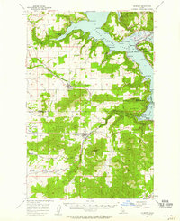
Editions of this 1957 Plummer Map
2 editions found
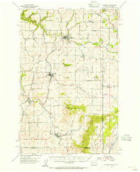
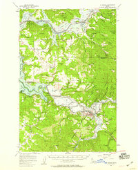
Other maps of this area

1901 · Spokane
USGS Topo · 1:125,000

1903 · Oakesdale
USGS Topo · 1:125,000

1903 · Rathdrum
USGS Topo · 1:125,000

1905 · Oakesdale
USGS Topo · 1:125,000

1949 · Greenacres
USGS Topo · 1:62,500

1951 · Greenacres
USGS Topo · 1:62,500
1954 · Fairfield
USGS Topo · 1:62,500

1955 · Spokane
USGS Topo · 1:250,000
1957 · St. Maries
USGS Topo · 1:62,500
1957 · Emida
USGS Topo · 1:62,500