
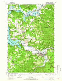
1957 Map of St. Maries
USGS Topo · Published 1958About this map
The confluence of the St Joe River and the Coeur d'Alene River systems dominates this landscape, where early timber and rail interests shaped the terrain. In the late 1950s, the city of St Maries served as a vital hub for the Chicago Milwaukee St Paul and Pacific railroad, which traced the river's winding path through the St Joe National Forest. To the north, Harrison overlooks Coeur d'Alene Lake, while smaller settlements like Springston and Medimont line the Union Pacific tracks. The map records the intricate series of lakes—Anderson Lake, Swan Lake, and Cave Lake—formed by the backup of river waters. Significant landmarks such as Kootenai High School and the Municipal Airport near the St Joe River illustrate the mid-century infrastructure of Benewah County.
Find a feature on this map
75 named features on this map. Tap any name to fly to it.
Don’t see what you’re looking for? This feature index may not catch every label — zoom into the map to look around manually.
Map Details
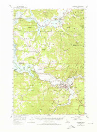
Editions of this 1957 St. Maries Map
3 editions found
Other maps of this area

1903 · Rathdrum
USGS Topo · 1:125,000

1909 · Cataldo
USGS Topo · 1:125,000

1911 · Cataldo
USGS Topo · 1:125,000

1950 · Rochat Peak
USGS Topo · 1:24,000

1952 · Rochat Peak
USGS Topo · 1:24,000

1955 · Spokane
USGS Topo · 1:250,000

1957 · Kingston
USGS Topo · 1:62,500

1957 · Emida
USGS Topo · 1:62,500

1957 · Plummer
USGS Topo · 1:62,500

1957 · Tensed
USGS Topo · 1:62,500