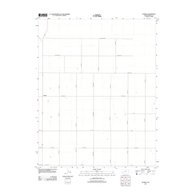
2012 Map of Plymell
USGS Topo · Published 2012About this map
Plymell serves as the focal point of this Finney County agricultural landscape, situated within a highly organized grid of rural section roads. This 2012 survey by the U.S. Geological Survey illustrates the modern spatial organization of the High Plains, where naming conventions often honor local families or descriptors, such as E Annie Scheer Rd and E Pete Smith Rd. The terrain is characterized by large-scale irrigation and farming infrastructure, connected by a network of arterial paths including S Lightner Rd and E Plymell Rd. Other local landmarks like E Tv Rd and E Craft Rd reflect the functional, systematic development of the region's land use into the 21st century.
Find a feature on this map
19 named features on this map. Tap any name to fly to it.
Don’t see what you’re looking for? This feature index may not catch every label — zoom into the map to look around manually.
Map Details
Editions of this 2012 Plymell Map
This is the sole edition of this map. No revisions or reprints were ever made.
Other maps of this area

1896 · Garden
USGS Topo · 1:125,000

1955 · Dodge City
USGS Topo · 1:250,000

1958 · Dodge City
USGS Topo · 1:250,000

1959 · Dodge City
USGS Topo · 1:250,000

1959 · Garden City 3 NW
USGS Topo · 1:24,000

1959 · Garden City 3 NE
USGS Topo · 1:24,000

1960 · Garden City East
USGS Topo · 1:24,000

1960 · Garden City SW
USGS Topo · 1:24,000
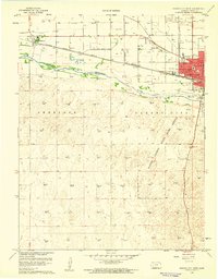
1960 · Garden City West
USGS Topo · 1:24,000

1960 · Plymell
USGS Topo · 1:24,000