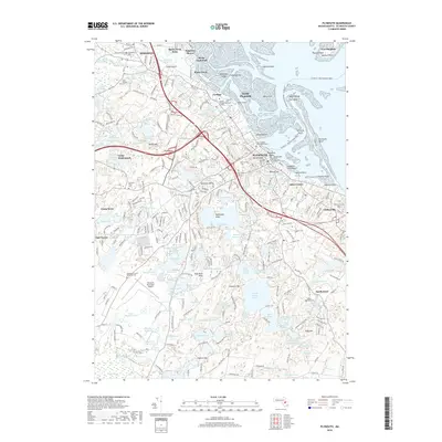
2018 Map of Plymouth
USGS Topo · Published 2018About this map
The coastal landscapes of Kingston and Plymouth define this modern survey, capturing a densely layered history where centuries of settlement meet contemporary infrastructure. At the shoreline, iconic landmarks like Plymouth Rock and the Coles Hill Sarcophagus stand near the ancient Burying Hill cemetery, while the Plymouth - Provincetown Ferry route indicates the enduring maritime connection to Cape Cod. Inland, the topography transitions from the industrial corridors of Cordage and North Plymouth to the undulating, pond-studded interior of Kngs Pond Plain. This terrain is marked by numerous family-named landmarks and water bodies such as Soules Pond and Hedges Pond. The presence of the Plymouth Municipal Airport and sprawling educational sites like Quincy College Plymouth Campus highlights the region's late 20th-century development alongside historical burial grounds like Parting Ways Cem and Vine Hill Cem.
Find a feature on this map
294 named features on this map. Tap any name to fly to it.
Don’t see what you’re looking for? This feature index may not catch every label — zoom into the map to look around manually.
Map Details
Editions of this 2018 Plymouth Map
This is the sole edition of this map. No revisions or reprints were ever made.
Other maps of this area

1885 · Abington
USGS Topo · 1:62,500

1885 · Duxbury
USGS Topo · 1:62,500

1885 · Middleboro
USGS Topo · 1:62,500

1886 · Plymouth
USGS Topo · 1:62,500

1888 · Duxbury
USGS Topo · 1:62,500

1888 · Middleboro
USGS Topo · 1:62,500

1888 · Abington
USGS Topo · 1:62,500

1889 · Plymouth
USGS Topo · 1:62,500

1893 · Abington
USGS Topo · 1:62,500

1893 · Duxbury
USGS Topo · 1:62,500