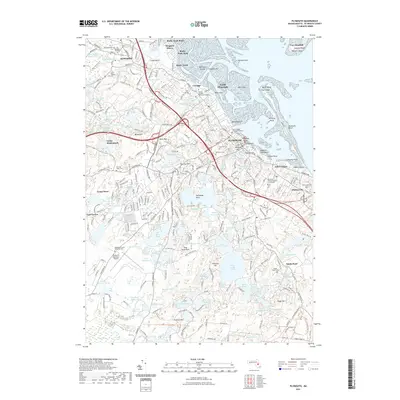
2021 Map of Plymouth
USGS Topo · Published 2021About this map
Plymouth and Kingston occupy this coastal landscape where the historic core meets the maritime expanse of the bay. The map documents the densely settled streets of North Plymouth and Cordage alongside significant cultural landmarks such as the Plymouth County Superior Court House and Coles Hill. For genealogists and local historians, several burial sites are meticulously plotted, including the Old Burying Ground, Oak Grove Cem, and Vine Hill Cem.
Find a feature on this map
154 named features on this map. Tap any name to fly to it.
Don’t see what you’re looking for? This feature index may not catch every label — zoom into the map to look around manually.
Map Details
Editions of this 2021 Plymouth Map
This is the sole edition of this map. No revisions or reprints were ever made.
Other maps of this area

1885 · Abington
USGS Topo · 1:62,500

1885 · Duxbury
USGS Topo · 1:62,500

1885 · Middleboro
USGS Topo · 1:62,500

1886 · Plymouth
USGS Topo · 1:62,500

1888 · Duxbury
USGS Topo · 1:62,500

1888 · Middleboro
USGS Topo · 1:62,500

1888 · Abington
USGS Topo · 1:62,500

1889 · Plymouth
USGS Topo · 1:62,500

1893 · Abington
USGS Topo · 1:62,500

1893 · Duxbury
USGS Topo · 1:62,500