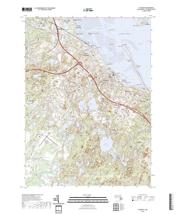
2024 Map of Plymouth
USGS Topo · Published 2024About this map
Plymouth Rock and the Cole's Hill Sarcophagus anchor the coastal edge of this modern survey, marking the profound heritage of the Massachusetts shore. The landscape transitions from the dense historic core of Plymouth and Kingston to a glacial interior defined by a remarkable density of kettle ponds and reservoirs. In the downtown district, institutional stability is visible through the Plymouth County Superior Court House and numerous historic burial sites, including the Old Burying Ground and Vine Hills Cem. To the south, the terrain becomes increasingly conservation-oriented, dominated by the Massaoit National Wildlife Refuge and large water bodies like South Pond. The coastal geography is intricate, featuring the long spit of Plymouth Beach and the outlying Fort Standish on the Saquish Neck, while modern infrastructure like the Mbta railroad and Plymouth Municipal Airport serves the growing community.
Find a feature on this map
310 named features on this map. Tap any name to fly to it.
Don’t see what you’re looking for? This feature index may not catch every label — zoom into the map to look around manually.
Map Details
Editions of this 2024 Plymouth Map
This is the sole edition of this map. No revisions or reprints were ever made.
Other maps of this area

1885 · Abington
USGS Topo · 1:62,500

1885 · Duxbury
USGS Topo · 1:62,500

1885 · Middleboro
USGS Topo · 1:62,500

1886 · Plymouth
USGS Topo · 1:62,500

1888 · Duxbury
USGS Topo · 1:62,500

1888 · Middleboro
USGS Topo · 1:62,500

1888 · Abington
USGS Topo · 1:62,500

1889 · Plymouth
USGS Topo · 1:62,500

1893 · Abington
USGS Topo · 1:62,500

1893 · Duxbury
USGS Topo · 1:62,500