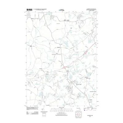
2012 Map of Plympton
USGS Topo · Published 2012About this map
Turkey Island and Prospect Hill rise above a landscape defined by an intricate network of waterways and cranberry cultivation in Plymouth County. This 2012 survey shows the traditional villages of Plympton and North Carver alongside smaller hamlets like Eddyville, Waterville, and Thomastown. The area's agricultural and industrial heritage is evident in the numerous water bodies, including the Plympton Bog West Reservoir, Bay State Company Bog Reservoir, and Annasnappet Brook Reservoir, which were engineered to support the region's historic bog-based economy.
Find a feature on this map
200 named features on this map. Tap any name to fly to it.
Don’t see what you’re looking for? This feature index may not catch every label — zoom into the map to look around manually.
Map Details
Editions of this 2012 Plympton Map
This is the sole edition of this map. No revisions or reprints were ever made.
Other maps of this area

1885 · Abington
USGS Topo · 1:62,500

1885 · Duxbury
USGS Topo · 1:62,500

1885 · Middleboro
USGS Topo · 1:62,500

1886 · Plymouth
USGS Topo · 1:62,500

1888 · Duxbury
USGS Topo · 1:62,500

1888 · Middleboro
USGS Topo · 1:62,500

1888 · Abington
USGS Topo · 1:62,500

1889 · Plymouth
USGS Topo · 1:62,500

1893 · Abington
USGS Topo · 1:62,500

1893 · Duxbury
USGS Topo · 1:62,500