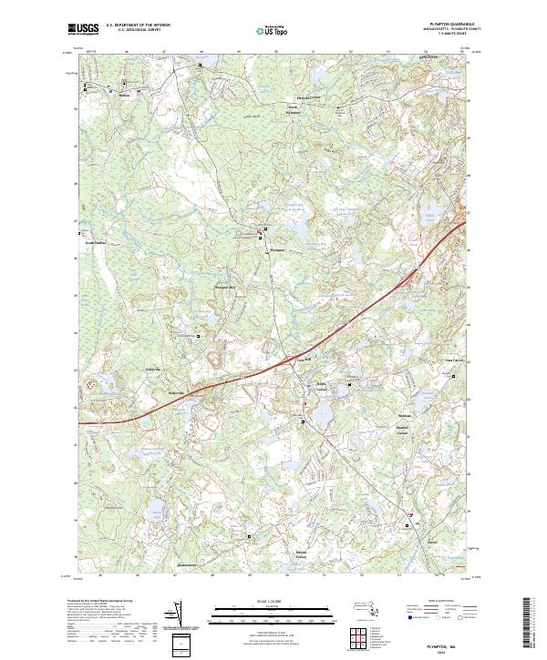
2024 Map of Plympton
USGS Topo · Published 2024About this map
Plympton and its surrounding hamlets in Plymouth County are defined by a complex network of wetlands and reservoirs supporting the region's long-standing cranberry industry. The landscape is dotted with specialized water bodies like Winebrook Bogs, Bumpus Bog Reservoir, and the Fuller Street Bog Reservoir, illustrating the intensive hydrological management required for bog cultivation. This mosaic of water and land is punctuated by several small, distinct settlements including Eddyville, Waterville, and Harrubs Corner, many of which grew around early industrial sites like the Cole Mill on Annasnappet Brook.
Find a feature on this map
202 named features on this map. Tap any name to fly to it.
Don’t see what you’re looking for? This feature index may not catch every label — zoom into the map to look around manually.
Map Details
Editions of this 2024 Plympton Map
This is the sole edition of this map. No revisions or reprints were ever made.
Other maps of this area

1885 · Abington
USGS Topo · 1:62,500

1885 · Duxbury
USGS Topo · 1:62,500

1885 · Middleboro
USGS Topo · 1:62,500

1886 · Plymouth
USGS Topo · 1:62,500

1888 · Duxbury
USGS Topo · 1:62,500

1888 · Middleboro
USGS Topo · 1:62,500

1888 · Abington
USGS Topo · 1:62,500

1889 · Plymouth
USGS Topo · 1:62,500

1893 · Abington
USGS Topo · 1:62,500

1893 · Duxbury
USGS Topo · 1:62,500