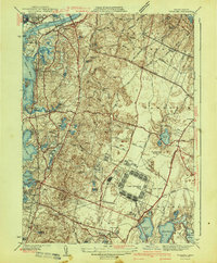
1941 Map of Pocasset
USGS Topo · Published 1941About this map
Camp Edwards and Otis Field dominate the southeastern landscape of this coastal survey, reflecting the rapid military expansion occurring just as the United States entered World War II. The map captures a transitional moment for the Upper Cape, where the established rail lines of the New York New Haven and Hartford railroad serve historic coastal villages like Pocasset and Cataumet. Northward, the Cape Cod Canal cuts through the terrain near Bourne Neck and the State Pier at Gray Gables. The interior is characterized by the dense woodlands of the Shawme State Forest and a complex network of glacial kettle ponds, including Snake Pond and Flax Pond. Significant local landmarks such as the County Sanatorium and family-named sites like Bear Hollow Farm provide specific points of interest for those studying the social and institutional history of Barnstable County during the early 1940s.
Find a feature on this map
71 named features on this map. Tap any name to fly to it.
Don’t see what you’re looking for? This feature index may not catch every label — zoom into the map to look around manually.
Map Details
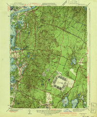
Editions of this 1941 Pocasset Map
2 editions found
Other maps of this area

1886 · Falmouth
USGS Topo · 1:62,500

1886 · Plymouth
USGS Topo · 1:62,500

1888 · Barnstable
USGS Topo · 1:62,500

1888 · Falmouth
USGS Topo · 1:62,500

1889 · Plymouth
USGS Topo · 1:62,500

1893 · Barnstable
USGS Topo · 1:62,500

1893 · Falmouth
USGS Topo · 1:62,500

1894 · Plymouth
USGS Topo · 1:62,500

1915 · Falmouth
USGS Topo · 1:62,500

1920 · Falmouth
USGS Topo · 1:62,500