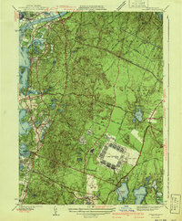
1941 Map of Pocasset
USGS Topo · Published 1941About this map
Camp Edwards and Otis Field dominate the southern interior of this coastal landscape, reflecting the military buildup occurring just before the United States entered World War II. The map detail highlights a transitional moment for the region, where established seaside settlements like Gray Gables, Monument Beach, and Cataumet sit along the shores of Buzzards Bay and Phinneys Harbor, while the interior is occupied by the sprawling Shawme State Forest.
Find a feature on this map
78 named features on this map. Tap any name to fly to it.
Don’t see what you’re looking for? This feature index may not catch every label — zoom into the map to look around manually.
Map Details
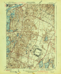
Editions of this 1941 Pocasset Map
2 editions found
Other maps of this area

1886 · Falmouth
USGS Topo · 1:62,500

1886 · Plymouth
USGS Topo · 1:62,500

1888 · Barnstable
USGS Topo · 1:62,500

1888 · Falmouth
USGS Topo · 1:62,500

1889 · Plymouth
USGS Topo · 1:62,500

1893 · Barnstable
USGS Topo · 1:62,500

1893 · Falmouth
USGS Topo · 1:62,500

1894 · Plymouth
USGS Topo · 1:62,500

1915 · Falmouth
USGS Topo · 1:62,500

1920 · Falmouth
USGS Topo · 1:62,500