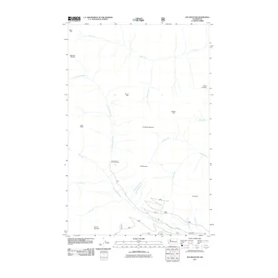
2011 Map of Poe Mountain
USGS Topo · Published 2011About this map
Poe Mountain and the surrounding peaks of the Cascade Range dominate this 2011 survey, where high-elevation drainage systems feed the headwaters of the Little Wenatchee River. The map captures a landscape defined by sharp topographical relief and alpine meadows, such as Meander Meadow near the northern boundary. Human presence is largely limited to recreational infrastructure and forest management, exemplified by the Little Wenatchee Ford Campground and the network of forest roads like Natl Forest Develop Road 6500 RD. The survey illustrates the complex hydrology of the region, tracing numerous seasonal and permanent flows including Papoose Creek, Cockeye Creek, and Pheasant Creek as they descend toward the river valley. Landmarks such as Whittier Peak, Mount Jonathan, and Longfellow Mountain serve as primary navigational points for this wilderness area, while Indian Pass provides a significant transit point along the northern ridgeline.
Find a feature on this map
29 named features on this map. Tap any name to fly to it.
Don’t see what you’re looking for? This feature index may not catch every label — zoom into the map to look around manually.
Map Details
Editions of this 2011 Poe Mountain Map
This is the sole edition of this map. No revisions or reprints were ever made.
Other maps of this area

1899 · Glacier Peak
USGS Topo · 1:125,000

1901 · Glacier Peak
USGS Topo · 1:125,000

1901 · Chiwaukum
USGS Topo · 1:125,000

1902 · Skykomish
USGS Topo · 1:125,000

1902 · Stehekin
USGS Topo · 1:125,000

1904 · Stehekin
USGS Topo · 1:125,000

1904 · Chiwaukum
USGS Topo · 1:125,000

1905 · Skykomish
USGS Topo · 1:125,000

1944 · Holden
USGS Topo · 1:62,500

1949 · Holden
USGS Topo · 1:62,500