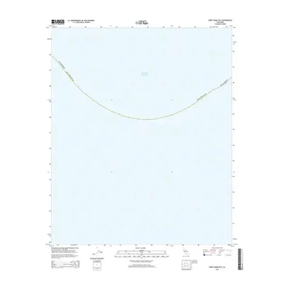
2015 Map of Point Dume OE S
USGS Topo · Published 2015About this map
The Pacific Ocean dominates this maritime survey off the coast of Southern California. Located south of Malibu, this map centers on the open waters and the jurisdictional boundary of Los Angeles Co. The sheet tracks the arc of the three-nautical-mile line, representing the territorial limit of the state of California within the Pacific waters. While terrestrial features are absent, the map serves as a precise record of marine boundaries and coordinates as they were defined in 2015, providing a clear view of the offshore territory that neighbors the Point Dume area.
Find a feature on this map
3 named features on this map. Tap any name to fly to it.
Don’t see what you’re looking for? This feature index may not catch every label — zoom into the map to look around manually.
Map Details
Editions of this 2015 Point Dume OE S Map
This is the sole edition of this map. No revisions or reprints were ever made.
Other maps of this area

1900 · Triunfo Pass
USGS Topo · 1:62,500

1903 · Calabasas
USGS Topo · 1:62,500

1903 · Camulos
USGS Topo · 1:125,000

1921 · Triunfo Pass
USGS Topo · 1:62,500

1929 · Dume Point
USGS Topo · 1:24,000

1929 · Solstice Canyon
USGS Topo · 1:24,000

1932 · Dume Point
USGS Topo · 1:24,000
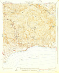
1932 · Solstice Canyon
USGS Topo · 1:24,000
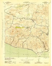
1943 · Triunfo Pass
USGS Topo · 1:62,500
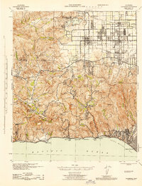
1944 · Calabasas
USGS Topo · 1:62,500