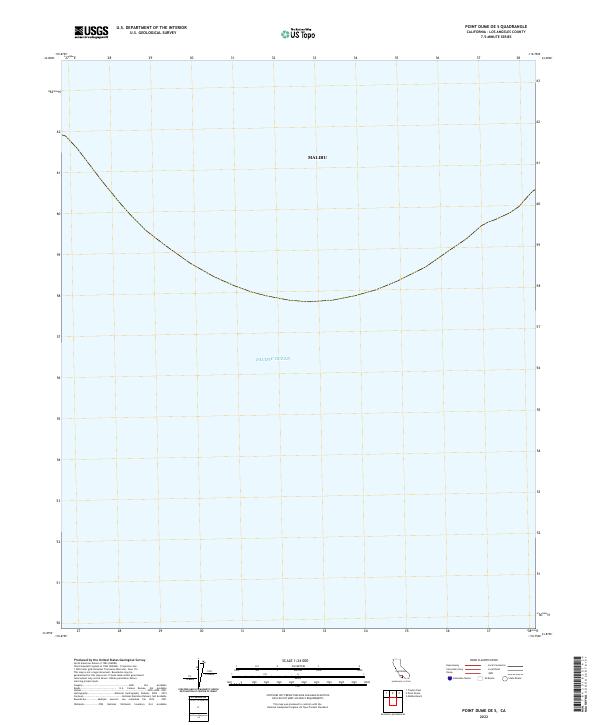
2022 Map of Point Dume OE S
USGS Topo · Published 2022About this map
The Pacific Ocean dominates this coastal survey, where the marine landscape of the Southern California bight meets the edge of the Malibu shoreline. This particular sheet captures the transition from the city's coastal boundary into the open waters of the Pacific, highlighting the distinctive curve of the coastline as it trends toward the offshore region. Because the map focuses largely on the maritime area south of the mainland, it serves as a specialized reference for the waters off the Los Angeles and Ventura County coastlines during the early 2020s.
Find a feature on this map
2 named features on this map. Tap any name to fly to it.
Don’t see what you’re looking for? This feature index may not catch every label — zoom into the map to look around manually.
Map Details
Editions of this 2022 Point Dume OE S Map
This is the sole edition of this map. No revisions or reprints were ever made.
Other maps of this area

1900 · Triunfo Pass
USGS Topo · 1:62,500

1903 · Calabasas
USGS Topo · 1:62,500

1903 · Camulos
USGS Topo · 1:125,000

1921 · Triunfo Pass
USGS Topo · 1:62,500

1929 · Dume Point
USGS Topo · 1:24,000

1929 · Solstice Canyon
USGS Topo · 1:24,000

1932 · Dume Point
USGS Topo · 1:24,000
1932 · Solstice Canyon
USGS Topo · 1:24,000
1943 · Triunfo Pass
USGS Topo · 1:62,500
1944 · Calabasas
USGS Topo · 1:62,500