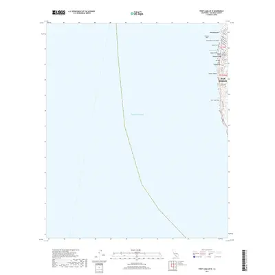
2018 Map of Point Loma OE W
USGS Topo · Published 2018About this map
The Pacific coastline of San Diego dominates this 2018 survey, documenting the narrow land-water interface where the city meets the Pacific Ocean. This coastal strip features the established neighborhoods of Ocean Beach and Azure Vista, where the residential street grid terminates abruptly at the sandstone bluffs. The map identifies specific shoreline landmarks critical for local navigation and coastal history, such as Alligator Rock, Pappys Point, and New Hope Rock.
Find a feature on this map
33 named features on this map. Tap any name to fly to it.
Don’t see what you’re looking for? This feature index may not catch every label — zoom into the map to look around manually.
Map Details
Editions of this 2018 Point Loma OE W Map
This is the sole edition of this map. No revisions or reprints were ever made.
Other maps of this area

1903 · La Jolla
USGS Topo · 1:62,500

1904 · San Diego
USGS Topo · 1:62,500

1904 · Southern California Sheet No. 2
USGS Topo · 1:250,000

1930 · La Jolla
USGS Topo · 1:62,500

1930 · San Diego
USGS Topo · 1:62,500

1942 · Point Loma
USGS Topo · 1:31,680

1943 · La Jolla
USGS Topo · 1:31,680

1950 · San Diego
USGS Topo · 1:250,000
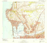
1953 · La Jolla
USGS Topo · 1:24,000
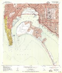
1953 · Point Loma
USGS Topo · 1:24,000