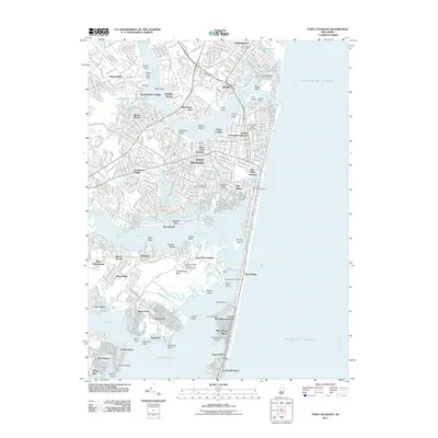
2011 Map of Point Pleasant
USGS Topo · Published 2011About this map
Point Pleasant Beach and the surrounding coastal communities of Point Pleasant and Bay Head anchor this 2011 survey of the Jersey Shore. The map detail highlights a complex interface of land and water, where the Manasquan River meets the Atlantic Ocean and feeds into the northern reaches of Barnegat Bay. Local transportation and maritime infrastructure are central to the landscape, including the rail connection at Bay Head Junction and the Point Pleasant State Marina.
Find a feature on this map
84 named features on this map. Tap any name to fly to it.
Don’t see what you’re looking for? This feature index may not catch every label — zoom into the map to look around manually.
Map Details
Editions of this 2011 Point Pleasant Map
This is the sole edition of this map. No revisions or reprints were ever made.
Other maps of this area

1888 · Barnegat
USGS Topo · 1:62,500

1888 · Asbury Park
USGS Topo · 1:62,500

1893 · Asbury Park
USGS Topo · 1:62,500

1893 · Barnegat
USGS Topo · 1:62,500

1898 · Barnegat
USGS Topo · 1:62,500

1901 · Asbury Park
USGS Topo · 1:62,500

1902 · Navesink
USGS Topo · 1:125,000

1919 · Barnegat
USGS Topo · 1:62,500

1919 · Asbury Park
USGS Topo · 1:62,500

1941 · Toms River
USGS Topo · 1:62,500