
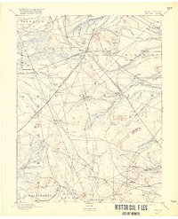
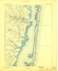
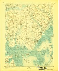
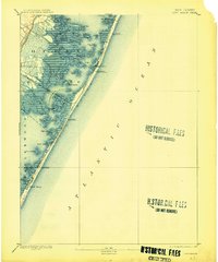
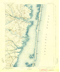
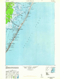
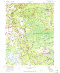
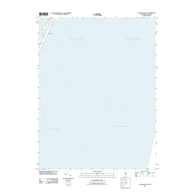
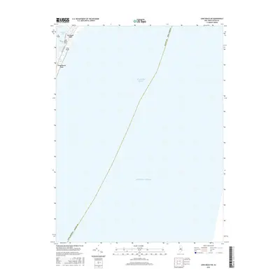
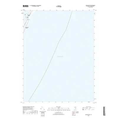
1893 Map of Barnegat
USGS Topo · Published 1893About this map
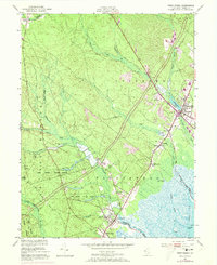
Barnegat Bay and the narrow barrier islands of the Jersey Shore dominate this late 19th-century survey. The landscape is defined by the transition from the pine-forested mainland, featuring settlements like Double Trouble and Good Luck, to the maritime economy of the coast. Life here centers on the water and the rails, with the Philadelphia and Long Branch Railroad crossing the bay to reach Seaside Park. Along the coast, a network of Life Saving Stations, including L.S. Station Island Beach and L.S. Station Cedar Creek, provides a critical safety net for Atlantic shipping. At the southern terminus, Barnegat Light stands guard over Barnegat Inlet. Inland, the Toms River and various branches of Cedar Creek and Oyster Creek carve through the townships of Berkeley and Lacey, supporting established communities such as Island Heights and Waretown.
Find a feature on this map
49 named features on this map. Tap any name to fly to it.
Don’t see what you’re looking for? This feature index may not catch every label — zoom into the map to look around manually.
Map Details
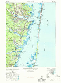
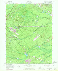
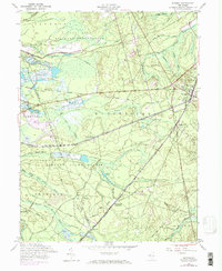
Editions of this 1893 Barnegat Map
2 editions found
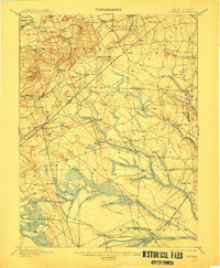
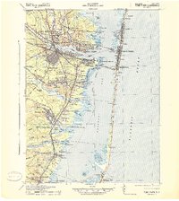
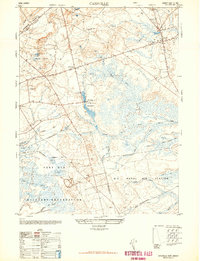
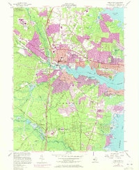
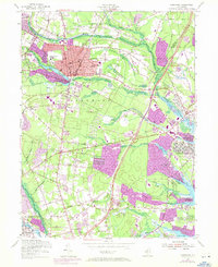
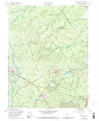
Historical Maps of Toms River Through Time
78 maps found

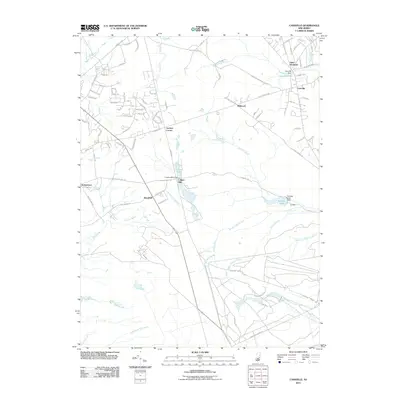
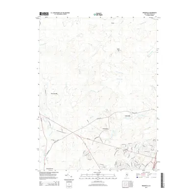
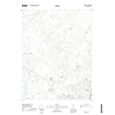
1884 Whitings
Ocean County, NJ

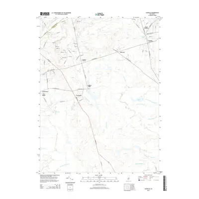
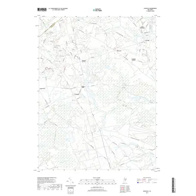
1888 Barnegat
Ocean County, NJ

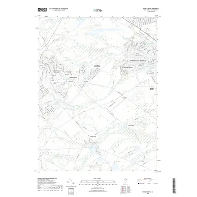
1888 Cassville
Ocean County, NJ

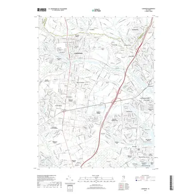
1888 Little Egg Harbor
Ocean County, NJ

1888 Long Beach
Ocean County, NJ
1888 Whiting
Ocean County, NJ
1893 Barnegat
Ocean County, NJ
1893 Little Egg Harbor
Ocean County, NJ
1893 Long Beach
Ocean County, NJ

1894 Cassville
Ocean County, NJ
1898 Barnegat
Ocean County, NJ
1900 Cassville
Ocean County, NJ

1919 Barnegat
Ocean County, NJ

1919 Long Beach
Ocean County, NJ

1920 Little Egg Harbor
Ocean County, NJ

1941 Long Beach
Ocean County, NJ
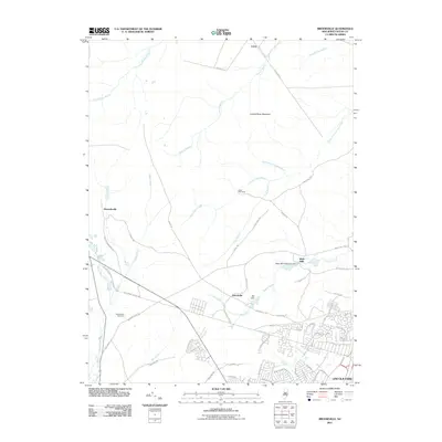
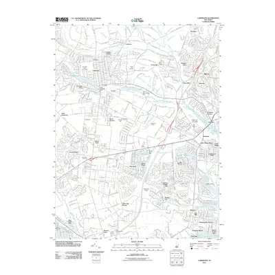
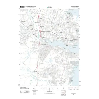
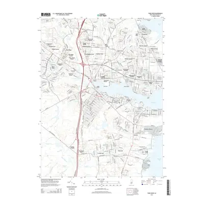
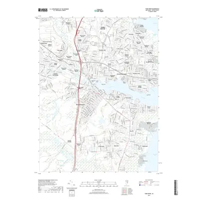
1941 Toms River
Ocean County, NJ

1942 Whiting
Ocean County, NJ

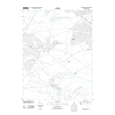
1947 Lakewood
Ocean County, NJ
1948 Cassville
Ocean County, NJ
1948 Long Beach
Ocean County, NJ
1948 Toms River
Ocean County, NJ
1949 Whiting
Ocean County, NJ

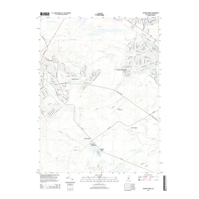
1951 Brookville
Ocean County, NJ

1951 Keswick Grove
Ocean County, NJ
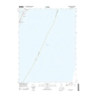
1951 Long Beach NE
Ocean County, NJ
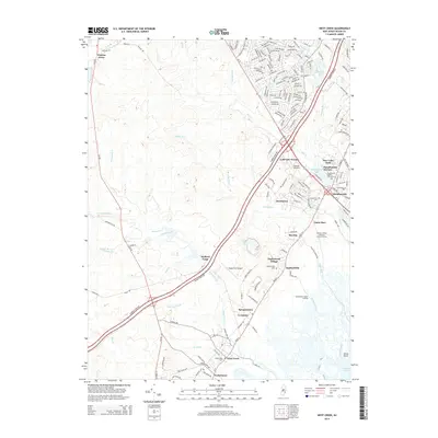
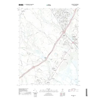
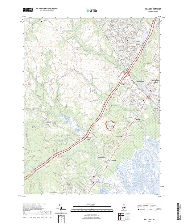
1951 West Creek
Ocean County, NJ

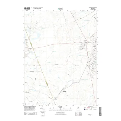
1951 Whiting
Ocean County, NJ
1953 Toms River
Ocean County, NJ
1954 Lakewood
Ocean County, NJ
1957 Brookville
Ocean County, NJ
1957 Cassville
Ocean County, NJ
1957 Keswick Grove
Ocean County, NJ
1957 Whiting
Ocean County, NJ
1989 Lakewood
Ocean County, NJ

1989 Toms River
Ocean County, NJ

1995 Lakewood
Ocean County, NJ

1995 Toms River
Ocean County, NJ
2011 Brookville
Ocean County, NJ
2011 Cassville
Ocean County, NJ
2011 Keswick Grove
Ocean County, NJ
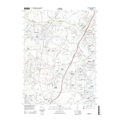
2011 Lakewood
Ocean County, NJ
2011 Long Beach NE
Ocean County, NJ
2011 Toms River
Ocean County, NJ
2011 West Creek
Ocean County, NJ
2011 Whiting
Ocean County, NJ
2014 Brookville
Ocean County, NJ
2014 Cassville
Ocean County, NJ
2014 Keswick Grove
Ocean County, NJ
2014 Lakewood
Ocean County, NJ
2014 Long Beach NE
Ocean County, NJ
2014 Toms River
Ocean County, NJ
2014 West Creek
Ocean County, NJ
2014 Whiting
Ocean County, NJ
2016 Brookville
Ocean County, NJ
2016 Cassville
Ocean County, NJ
2016 Keswick Grove
Ocean County, NJ
2016 Lakewood
Ocean County, NJ
2016 Long Beach NE
Ocean County, NJ
2016 Toms River
Ocean County, NJ
2016 West Creek
Ocean County, NJ
2016 Whiting
Ocean County, NJ
2019 Brookville
Ocean County, NJ
2019 Cassville
Ocean County, NJ
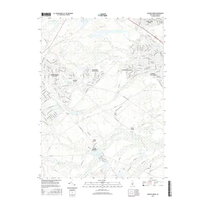
2019 Keswick Grove
Ocean County, NJ
2019 Lakewood
Ocean County, NJ
2019 Long Beach NE
Ocean County, NJ
2019 Toms River
Ocean County, NJ
2019 West Creek
Ocean County, NJ
2019 Whiting
Ocean County, NJ
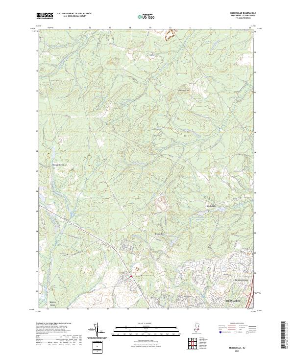
2023 Brookville
Ocean County, NJ
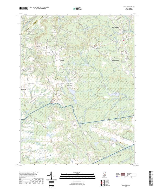
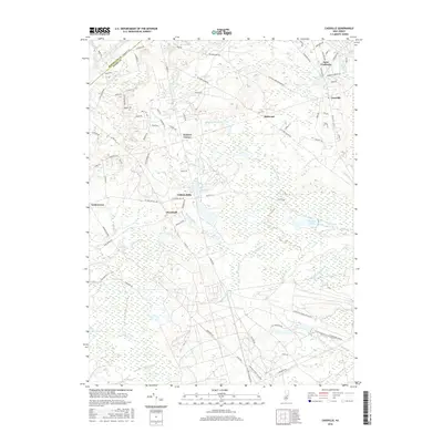
2023 Cassville
Ocean County, NJ

2023 Keswick Grove
Ocean County, NJ
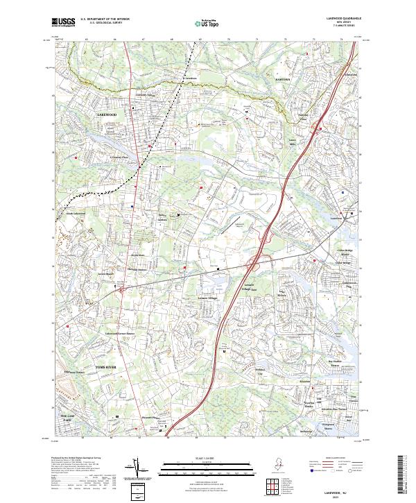
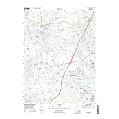
2023 Lakewood
Ocean County, NJ
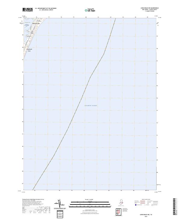
2023 Long Beach NE
Ocean County, NJ

2023 Toms River
Ocean County, NJ
2023 West Creek
Ocean County, NJ
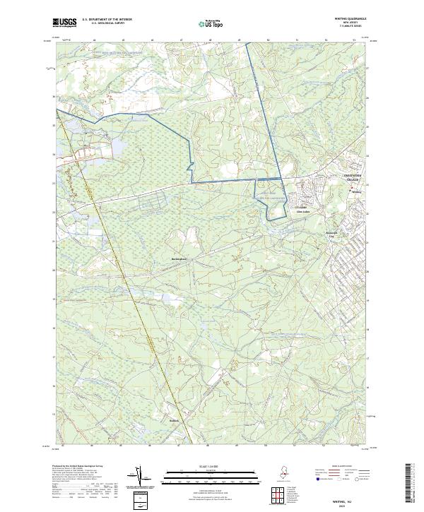
2023 Whiting
Ocean County, NJ