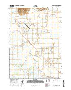
2017 Map of Poison Creek Slough
USGS Topo · Published 2017About this map
The E Fork Silvies River and its complex network of seasonal waterways dominate this portion of the High Desert landscape in Harney County. The area is characterized by an intricate drainage system of sloughs, including Poison Creek Slough, Embrace Slough, and Foleys Slough, which weave through the flat terrain south of Sand Hill. This drainage pattern reflects the region's hydrologic dependency on the Silvies River system for agriculture and ranching, evidenced by the presence of the Upper Hanley Canal. Cultural developments are concentrated near the regional hub, with the Burns Municipal Airport serving as a prominent landmark. The road network, featuring routes like Crane Blvd and Hwy 20, cuts across the lowlands, while named paths such as Old Experiment Rd and Rye Grass Ln provide access to the rural sections of the Harney Basin.
Find a feature on this map
30 named features on this map. Tap any name to fly to it.
Don’t see what you’re looking for? This feature index may not catch every label — zoom into the map to look around manually.
Map Details
Editions of this 2017 Poison Creek Slough Map
This is the sole edition of this map. No revisions or reprints were ever made.
Other maps of this area

1955 · Burns
USGS Topo · 1:250,000

1958 · Burns
USGS Topo · 1:250,000

1959 · Burns
USGS Topo · 1:250,000

1959 · Harney
USGS Topo · 1:62,500

1959 · Dog Mountain
USGS Topo · 1:62,500

1959 · Lawen
USGS Topo · 1:62,500

1960 · Burns
USGS Topo · 1:62,500

1960 · Burns
USGS Topo · 1:24,000

1975 · Burns
USGS Topo · 1:24,000

1978 · Malheur Lake
USGS Topo · 1:100,000