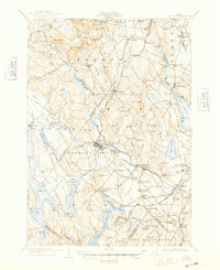
1908 Map of Poland
USGS Topo · Published 1948About this map
Mechanic Falls serves as a central hub on this early 20th-century landscape, where the Little Androscoggin River and several rail lines intersect. The map illustrates a region defined by its water-driven industry and burgeoning leisure economy, evidenced by the cluster of resorts and springs near Poland Spring and South Poland. The rail network is particularly dense, featuring the Grand Trunk R R and the Maine Central R R Rangeley Division, which facilitated transport for local agriculture and seasonal visitors.
Find a feature on this map
160 named features on this map. Tap any name to fly to it.
Don’t see what you’re looking for? This feature index may not catch every label — zoom into the map to look around manually.
Map Details
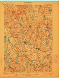
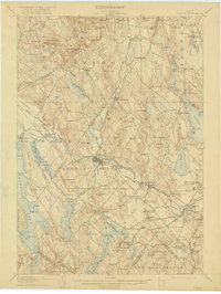
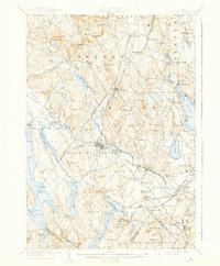
Editions of this 1908 Poland Map
5 editions found
Other maps of this area

1892 · Freeport
USGS Topo · 1:62,500

1894 · Gray
USGS Topo · 1:62,500

1896 · Norway
USGS Topo · 1:62,500

1896 · Sebago
USGS Topo · 1:62,500

1898 · Gray
USGS Topo · 1:62,500

1908 · Poland
USGS Topo · 1:62,500

1908 · Lewiston
USGS Topo · 1:62,500

1910 · Livermore
USGS Topo · 1:62,500

1911 · Bryant Pond
USGS Topo · 1:62,500

1911 · Buckfield
USGS Topo · 1:62,500