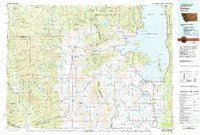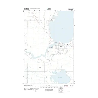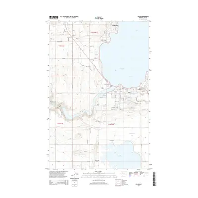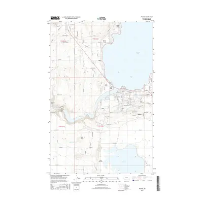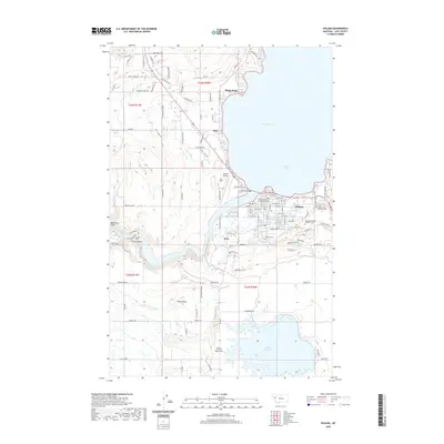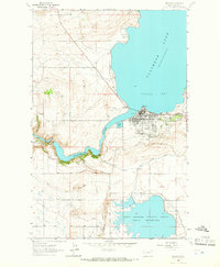
1964 Map of Polson
USGS Topo · Published 1966About this map
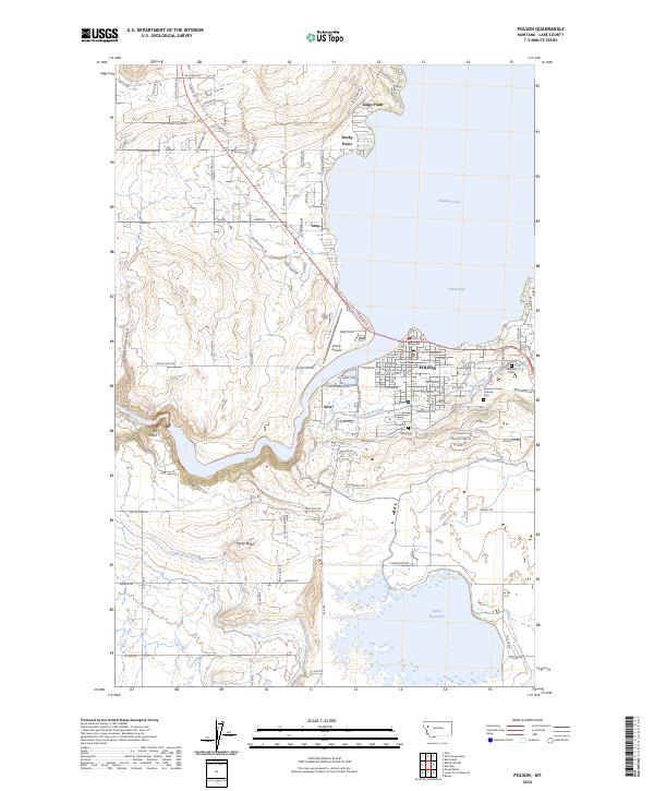
The northern tip of Pablo Reservoir and the Pablo National Wildlife Refuge anchor the southern landscape of this mid-1960s survey. The town of Polson sits prominently at the southern curve of Polson Bay, where the Northern Pacific railroad terminates near the shoreline. This era shows a well-established infrastructure supporting the agricultural and natural resources of Lake County, including an intricate network of irrigation such as the Pablo Canal, Polson Canal, and Feeder Canal.
Find a feature on this map
30 named features on this map. Tap any name to fly to it.
Don’t see what you’re looking for? This feature index may not catch every label — zoom into the map to look around manually.
Map Details
Editions of this 1964 Polson Map
This is the sole edition of this map. No revisions or reprints were ever made.
Historical Maps of Polson Through Time
7 maps found