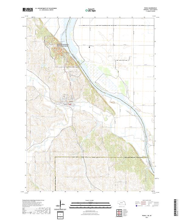
2021 Map of Ponca
USGS Topo · Published 2021About this map
Ponca serves as a focal point along the bluffs of the Missouri River, where the Dixon County Courthouse and Ponca Cem mark the long-standing community center of Dixon County. The landscape is defined by the sharp transition between the upland plateaus and the valley floor of the Missouri National Recreation River. Along the river’s edge, a complex network of paths including the Corps of Discovery Trl, Ponca Horse Trl, and Old Oak Trl wind through the hills near Lookout Hill, reflecting the modern focus on recreation and conservation within the Missouri Wild and Scenic River corridor. Inland, the grid-based road system intersects with natural drainages like Badger Cr and Aouwa Cr, while smaller water bodies such as Schulke Reservoir dot the agricultural landscape.
Find a feature on this map
65 named features on this map. Tap any name to fly to it.
Don’t see what you’re looking for? This feature index may not catch every label — zoom into the map to look around manually.
Map Details
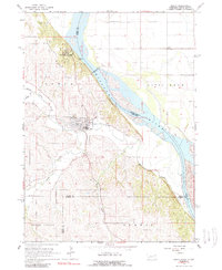
Editions of this 2021 Ponca Map
This is the sole edition of this map. No revisions or reprints were ever made.
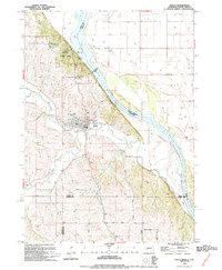
Historical Maps of Ponca Township Through Time
Featured Locations
- St. Johns Precinct, NE
- Ponca Township, NE
- Ottercreek Township, NE
- Ponca, NE
- McKays Trailer Court, Civil Bend Township